The Met Office has given its first verdict on whether Britons could be in for a white Christmas in its latest long-range forecast.
Forecasters suggests the UK is set for an unsettled period leading up to and beyond Christmas – but has already signalled that “sleet and snow” could be heading for Britain’s shores as the festive season gets underway.
The Met Office’s December 13-22 long-range forecast says that a period of high pressure is expected to weaken at the end of this week, showering the UK with bands of rain country-wide.
After the rain subsides, the Met Office has warned of particularly wintry conditions in the northwest.

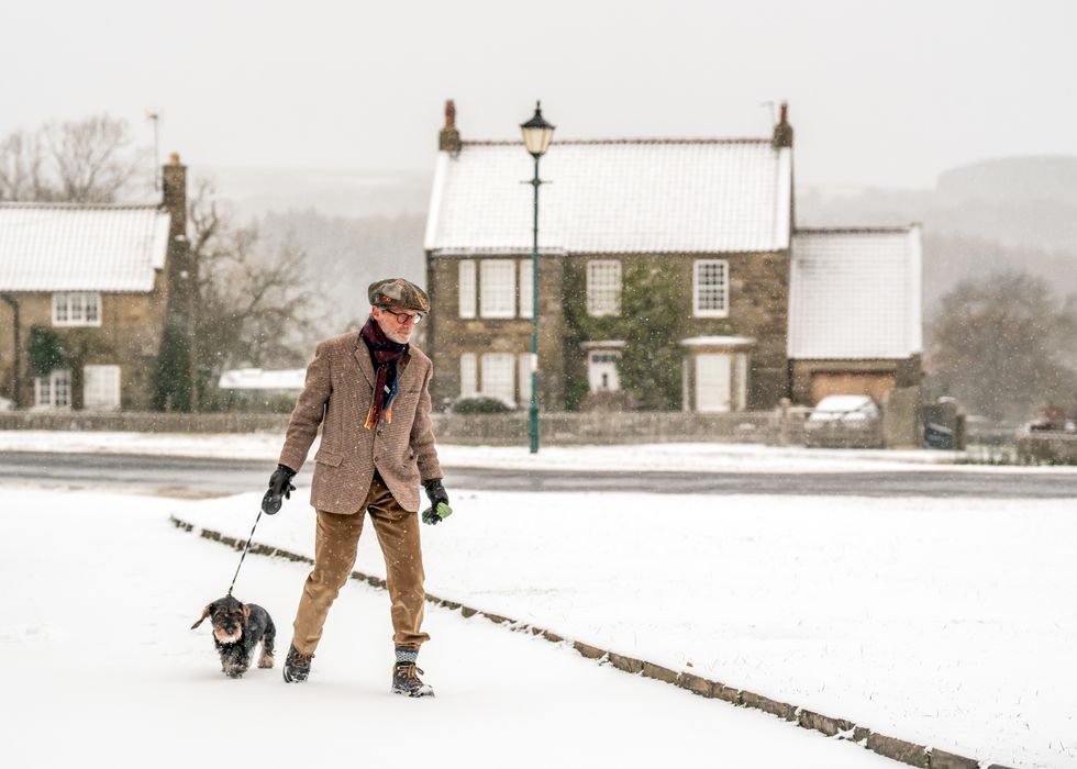
Since 1960, only four Christmas Days have seen widespread snow coverage
PA
But Britons waiting for snow might have to hold out for a while yet – temperatures are forecast to hover around average, alternating between colder and milder periods, the Met Office says.
Looking ahead to the Christmas period, forecasters have earmarked some sleet and snow to strike – particularly on high ground in northern areas.
The long-range outlook covering December 23 to January 6 suggests mainly unsettled conditions will prevail across most of the UK.
Southern regions might experience more settled weather towards the end of December or early January, while overall temperatures are expected to remain around average for the season.
LATEST WEATHER UPDATES FROM GB NEWS:

A white Christmas is officially recorded if just one snowflake falls anywhere in the UK
PA
But there are still weeks until any iron-clad forecasts for December 25 emerge.
The Met Office can accurately forecast the likelihood of Christmas Day snow up to five days in advance – though has widened its definition of a white Christmas, which now extends beyond its traditional single location in London.
A white Christmas is officially recorded if just one snowflake falls anywhere in the UK during the 24 hours of December 25.
Multiple locations are now monitored, including Buckingham Palace, Belfast’s Aldergrove Airport, and Aberdeen’s Pittodrie Stadium.

Forecasters have earmarked some sleet and snow to strike – particularly on high ground in northern areas
PA
Edinburgh Castle, Manchester’s Coronation Street, and Cardiff’s Millennium Stadium are also among the designated observation points.
The Met Office also analyses data from observation stations nationwide to provide a complete picture of Christmas Day snow coverage.
Historical data shows around half of the years since 1960 have seen at least five per cent of the UK’s weather stations record snowfall on Christmas Day.
This means more than half of all Christmas Days could technically be classified as “white Christmases” – even if nationwide snow cover can’t be seen.
Since 1960, only four Christmas Days have seen widespread snow coverage, defined as more than 40 per cent of UK stations reporting snow on the ground at 9am – 1981, 1995, 2009 and 2010.







Post comments (0)