Britons are being told to brace for a week of heavy rain as over forty urgent flood warnings have been issued.
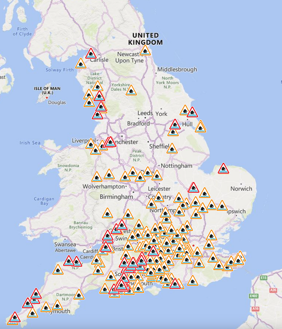
There could be disruption to travel across the UK with the Environment Agency issuing 42 flood warningsstretching from the Cumbrian coastline to the North Cornwall coast at Chapel Porth.
Last night, Paddington station was forced to shut amid flooding and heavy rain, sparking travel chaos in London and Western England.
A Transport for London spokesperson said: “This station is closed due to flooding caused by heavy rain.”

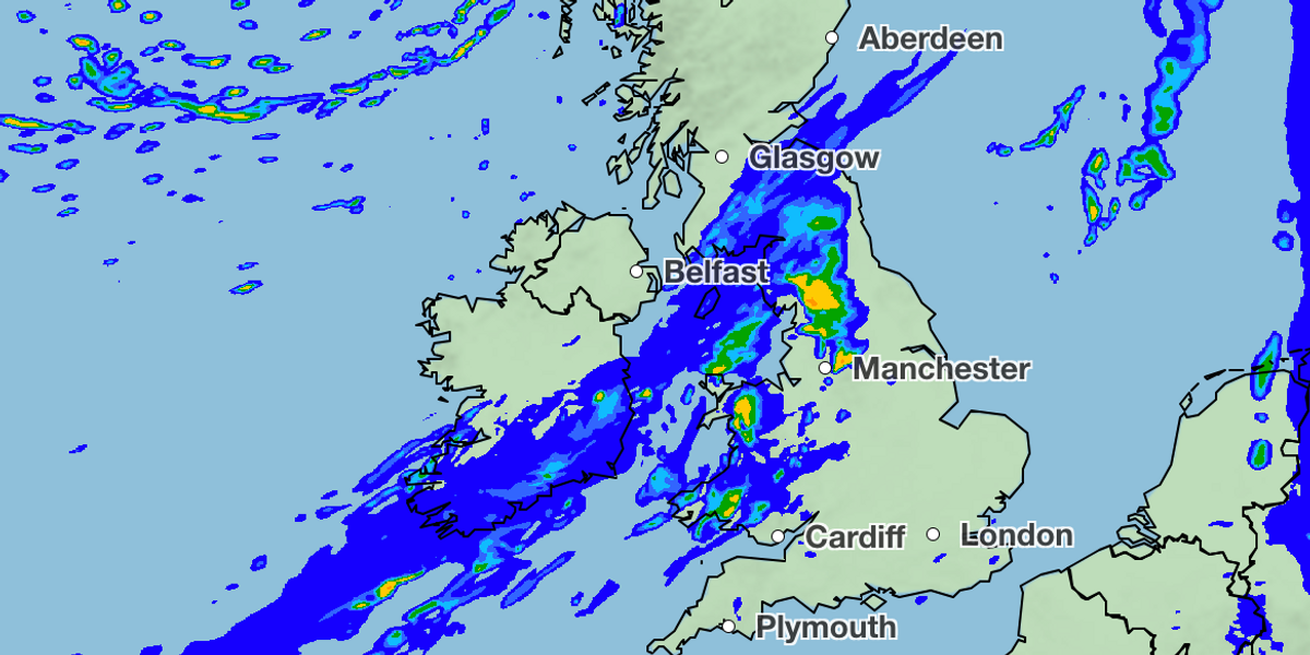
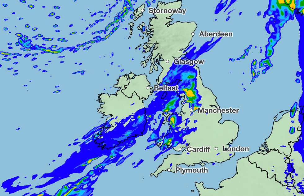
Rain is expected to continue to hit the UK today
MET OFFICE
A spokesperson from the Environment Agency said: “A Flood Warning calls on people to act now which means turning off gas, water and electricity and moving family and pets to safety.
“A Severe Flood Warning means you are in immediate danger and to follow advice from emergency services.”
Britons in impacted areas were told to “act now”.
The Met Office forecasts that it will be mostly dry but cloudy across the south overnight tonight. There will be rain across North Wales and northern England edging northwards with clear spells across Scotland, blustery showers becoming confined to the far north into the early hours of Thursday morning.
A spokesperson said: “[Thursday] will have a band of cloud and rain continuing to move northwards across Scotland. Elsewhere [it will be] rather cloudy, a few showers developing here and there during the afternoon. Feeling mild, particularly overnight.”
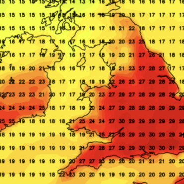
Looking into the weekend, showers are expected for the majority of the country, with temperatures feeling more mild than usual for this time of year.
LATEST TRAVEL NEWS

More than 40 flood warnings are in place in England, with over 100 alerts also having been issued
ENVIRONMENT AGENCY
The forecast for the back end of the weekend and the start of next week is set to be “unsettled” with rain expected throughout.
A Met Office forecast said: “Through the weekend a broadly unsettled but mild pattern continues. Sunday seeing areas of rain steadily clearing east through the day with showers developing behind this, some of these potentially heavy especially in the west.
“Into the new week temperatures trend down toward just above average for the time of year as showers on Monday turn to broader bands of rain at times into the week, though with some brighter, milder, breaks interspersed.
“Rain [will be] heaviest in western areas, driest in the south and east.”

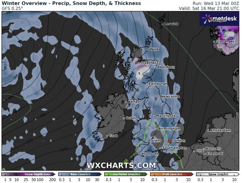
The UK is set to be battered by rain
WXCharts
Meteorologist for British Weather Services and social commentator Jim Dale said: “For the next ten days it is really going to be stop-start in terms of rain, and this is because the jet is in a zonal position, bringing low pressure and associated fronts in from the Atlantic.
“There will be a risk of thunderstorms because the overall milder weather through February and generally mild conditions through this month will put more energy into the atmosphere.
“With the higher sea temperatures around the UK, the ingredients are present for changeable and stormy conditions.”






Post comments (0)