A ‘cold plunge’ is about to push temperatures back to freezing as northerly winds blow away the spring warmth.
A change in atmospheric pressure patterns early next week will topple thermometers from recent 20C highs.
However, winter coats will make only a brief return with warmth forecast to return ahead of next weekend.
Thermometers will drop widely from Monday amid warnings for parts of the country to brace for thunder and hail.
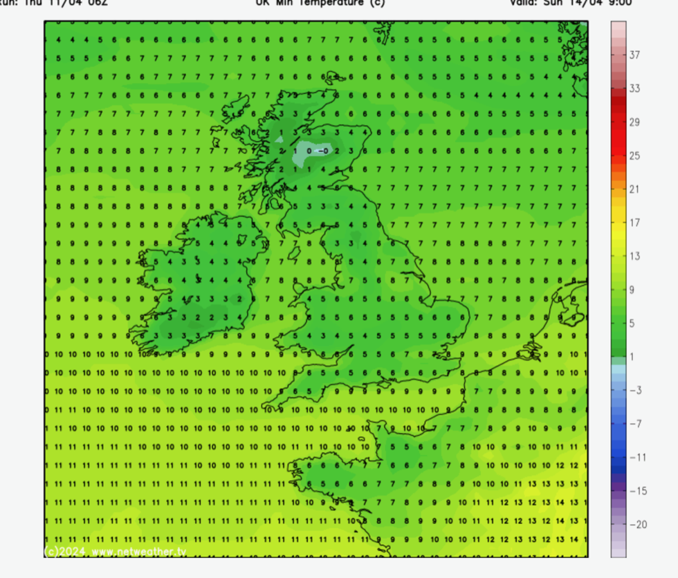
Lows of freezing could hit the high spots of Scotland and northern England while the rest of Britain sinks to single figures.
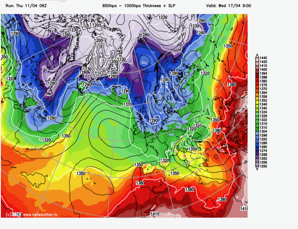
Met Office meteorologist Alex Burkill said: “From Tuesday, high pressure builds from the west, and we will end up with a northerly flow, so quite a cold direction and quite a chilly day with some showery rain around.

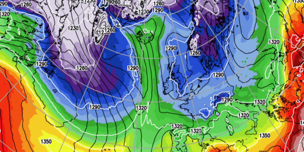
Colder air sweeps down at the start of the week
WX CHARTS
“Sunday will be a showery day towards the northwest, and from Sunday into Monday those showers are going to be more widespread, and they could be thundery with some hail.
“With the change in air mass, we are going to see some colder air plunging in as we go into the beginning of next week, and things are going to turn markedly cooler.”
Heavy rain across Scotland and the north will bring the risk of floods with ground saturated from weeks of wet weather, he warned.
A north-south split will bring better weather to the south and the southeast, before high pressure builds ahead of a longer dry spell, he added.
He said: “We stick with a north-south split as we go through Friday night into Saturday, and some heavy bands of rain will pushing through at times, and it is always going to be in the north that we see the wettest weather.
“As we go through the latter part of next week, there are some fairly strong signs that high pressure will become more dominant.

Temperatures will drop next week
NETWEATHER
“Looking further ahead, there are promising signs for high pressure to dominate across the whole of the UK.”
Cold weather is unlikely to dampen spirits for too long with the warmth expected to make a return around mid-month.
Long-range forecasters say the first heatwave of the season could arrive as soon as late-April.
But with the changing weather patterns and collision of warm and cold air masses, Britain will be at risk of further stormy weather.
Jim Dale, meteorologist for British Weather Services and social commentator, said: “It is likely that we will get some very warm weather as we to through the second half of the month, and there could be a risk of heatwave conditions as the temperatures rise.
“This, though, is going to come with instability, and we are expecting to see thunderstorm activity, especially with any low pressure that comes in from the west.
“Heat, humidity, and warmer air clashing with colder air is the perfect recipe for instability.”
Looking further ahead, the Met Office’s three-month contingency outlook predicts a greater than normal chance of warm weather between now and July.
The forecast states a lower-than-average chance of cooler weather and a greater risk of rain through the season.
This, experts blame on a combination of an El Nino warming of the eastern Pacific, disruption of the Polar stratosphere, and a general change in the climate.
The first hot spell of the season could hold out into late spring, according to some forecasters.
Exacta Weather’s James Madden said: “There is a signal for a significant pattern change to something warmer and more settled around the middle of April.
“We could even be looking at hot weather for most parts of the country, if not countrywide.
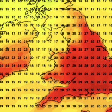
“The peak of the April heat surge could see temperatures reach into the mid-20Cs in parts, and this could last up to two weeks.”


Post comments (0)