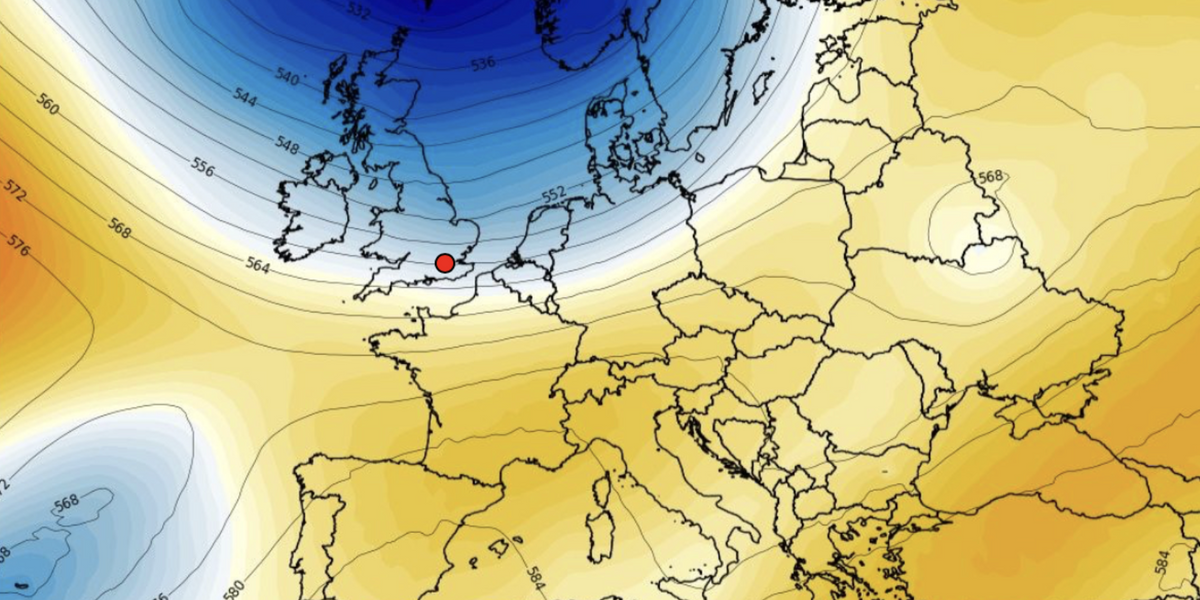
A ‘dive of cold air’ from the north will plummet temperatures around 10C below normal as parts of Britain brace for snow.
Thermometers will nosedive from mid-week after government forecasters bafflingly reveal Britain has had the ‘warmest May and spring on record’.
Northerly winds and chilly showers will sweep the nation from Wednesday while wintry showers dust the Highlands of Scotland.
Low pressure and an occluded front–the merging of cold and warm air masses–will bring heavy downpours to northern regions, according to the Met Office.
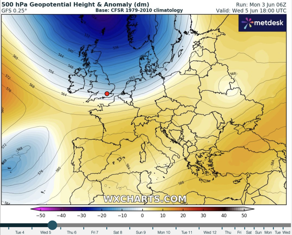
Met Office meteorologist Annie Shuttleworth said: “It is going to turn a little bit colder particularly through Tuesday and into Wednesday when we see a dive of cold air from the north spread across the country.
“That cold air continues to dive south and east through the night on Tuesday night into Wednesday, and an occluded front brings a focus of some quite heavy showers through Wednesday morning.
 Cold air comes in from the northWX CHARTS
“Those showers could fall as snow over the high ground of Scotland which is not that typical for early summer but isn’t completely unusual.”
Temperatures will sink between 6C and 9C below average for June with much of the week looking cold, she warned.
Clear nights and cold air from the north will see temperatures struggle to nudge the summer norm even by day, she added.
She said: “We have got colder air and fairly clear nights particularly across the south.
“Temperatures by night will be in the lower single figures and by day struggling up into the double digits.
“It is definitely going to be feeling quite cold through Wednesday and Thursday in particular.”
Temperatures will widely drop from a ‘fairly mild’ Tuesday, she added, with the chance of another uptick at the end of the week.
The cold snap comes as Government forecasters announce the warmest May and spring temperatures on record.
The monthly mean came in at 13.1 beating the 2008 record of 12.1C with England and Wales also toppling regional records.
The odd conclusion is being put down to above-average temperatures in Scotland and unusually high night-time temperatures.
A Met Office spokesperson said: “While it may not have felt like it for many, with sunshine in relatively short supply, provisional figures show May was the warmest on record in our series back to 1884.
“This warmth was especially influenced by high overnight temperatures, with the average UK minimum temperature for May 1.2C higher than the previous record.
“Rainfall was above average for the UK, while some areas in the south saw over a third more rain than average.”
After a mild start to the week, Britain’s weather will take a turn for the worst through Tuesday night and into Wednesday.
Jim Dale, meteorologist for British Weather Services and social commentator, said: “A frontal system will ram in again around Tuesday, and this is going to bring rain to the north of the country, more so than the south.
“It is going to turn a little bit cooler and more mixed, although at the start of the week in the south it will feel quite summery.
“How the weather pans out depends on where this frontal system aims its venom.”
Exacta Weather forecaster James Madden added: “Unfortunately, the jet stream will temporarily divert around midweek, and this will bring some cooler and showery weather for those in the north of the country.
“This may also bring some non-significant wintry showers of sleet across the highest ground in parts of Scotland during Tuesday evening and into the early hours of Wednesday, and some cool evenings could be in store for the time of the year.”


 Cold air comes in from the northWX CHARTS


Post comments (0)