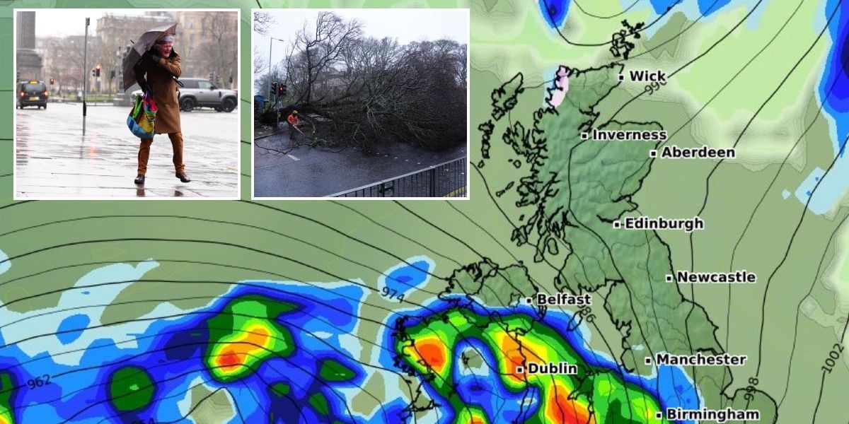
The UK is bracing for Storm Herminia, which threatens to bring heavy rain, gales and hill snow just days after the country was battered by its strongest storm in a decade.
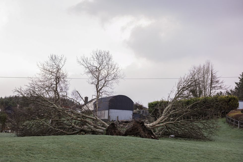
Weather experts warn the approaching storm poses heightened risks due to infrastructure already weakened by Storm Eowyn.
“Southwestern areas certainly bearing the brunt this time in terms of the most unsettled conditions,” Met Office meteorologist Jonathan Vautrey said.
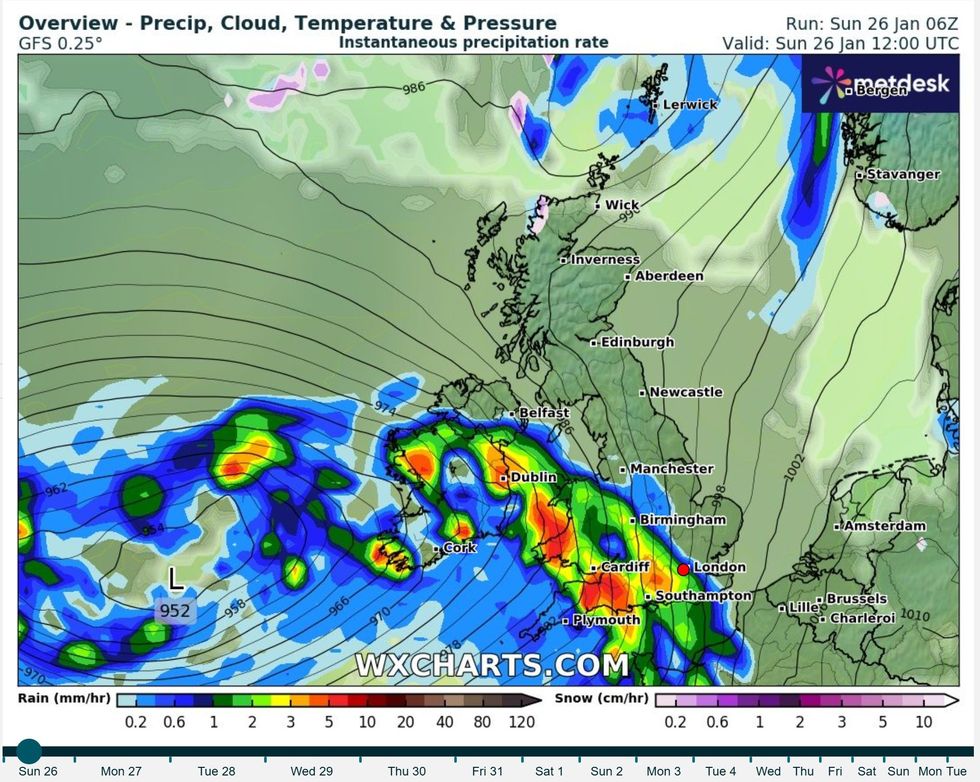
Storm Herminia, named by Spanish authorities, will sweep up from the south west, bringing severe conditions through Monday.

The Met Office forecasts wind gusts of 50 to 60mph widely, with some exposed coasts and hills potentially seeing gusts reach 70mph
Reuters
The warning comes as parts of the UK are still recovering from Storm Eowyn, which the Met Office described as “probably the strongest” weather system to hit the country in at least ten years.
Yellow wind warnings are in place for Sunday across parts of North West England, South West England, Northern Ireland, Wales and southwest Scotland, from 8am until 3pm.
The Met Office forecasts wind gusts of 50 to 60mph widely, with some exposed coasts and hills potentially seeing gusts reach 70mph.
A separate yellow warning for heavy rain will be in effect from 8am Sunday until 6am Monday.
MORE LIKE THIS:

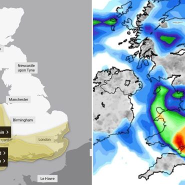
Storm Herminia will strike from the south west on Sunday night and Mondau
WXCharts
This rain warning covers multiple regions including the East Midlands, West Midlands, North West England, South West England, East of England, London and South East England.
Rainfall amounts of 10-20mm are expected widely, with some high ground areas potentially receiving 30-50mm.
Monday’s weather warnings paint an even more concerning picture, with a yellow wind warning covering much of southern England and Wales from 6am Monday to 6am Tuesday.
Coastal areas could face gusts of 60 to 70mph, while inland regions may experience speeds up to 50mph.
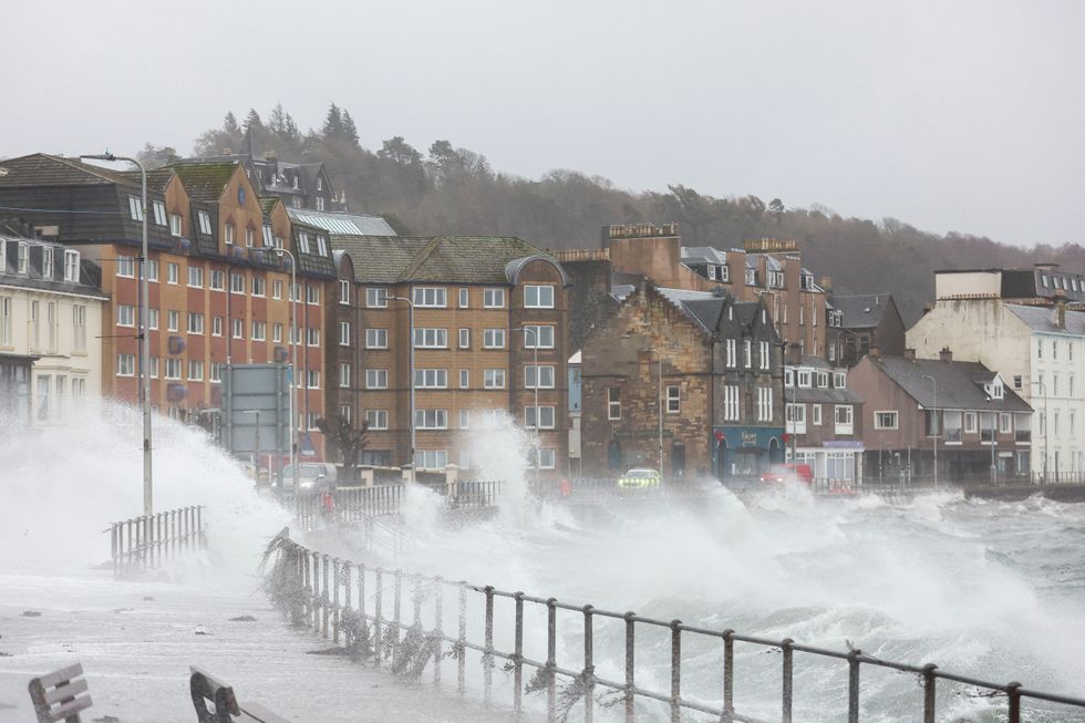
The Met Office warns that coastal routes and seafronts will likely be affected by spray and large waves.
A separate yellow rain warning is in place for Monday, covering the West Midlands and much of Wales, lasting from 6am until midnight.
Forecasters expect 20-40mm of rain to fall widely, with 50-70mm possible on higher ground.
Transport disruption is likely, with bus and rail services expected to face delays and road conditions becoming hazardous due to spray and flooding.

The Met Office warns that coastal routes and seafronts will likely be affected by spray and large waves
Reuters
The Met Office also warns of potential power outages and flooding of some homes and businesses.
The heightened concern over Storm Herminia comes as the UK continues to grapple with Storm Eowyn’s aftermath, which left more than a million people without power.
In Scotland, SP Energy Networks reported 28,000 customers still without electricity as of Saturday evening.
The situation was particularly severe in Northern Ireland, where 140,000 homes and businesses remained cut off, while the Republic of Ireland saw around 460,000 properties affected.
Storm Eowyn’s intensity was unprecedented in some areas, with a 100mph gust recorded at Drumalbin in South Lanarkshire.
The storm caused significant structural damage, including the collapse of a Co-op store in Denny, Falkirk.
A Cobra meeting was held Saturday to discuss the storm’s impact, with the government pledging to “stand ready to provide further support.”





Post comments (0)