A shift in jet stream has been forecast to spark a surge in temperatures as Britons brace for a mini-heatwave.
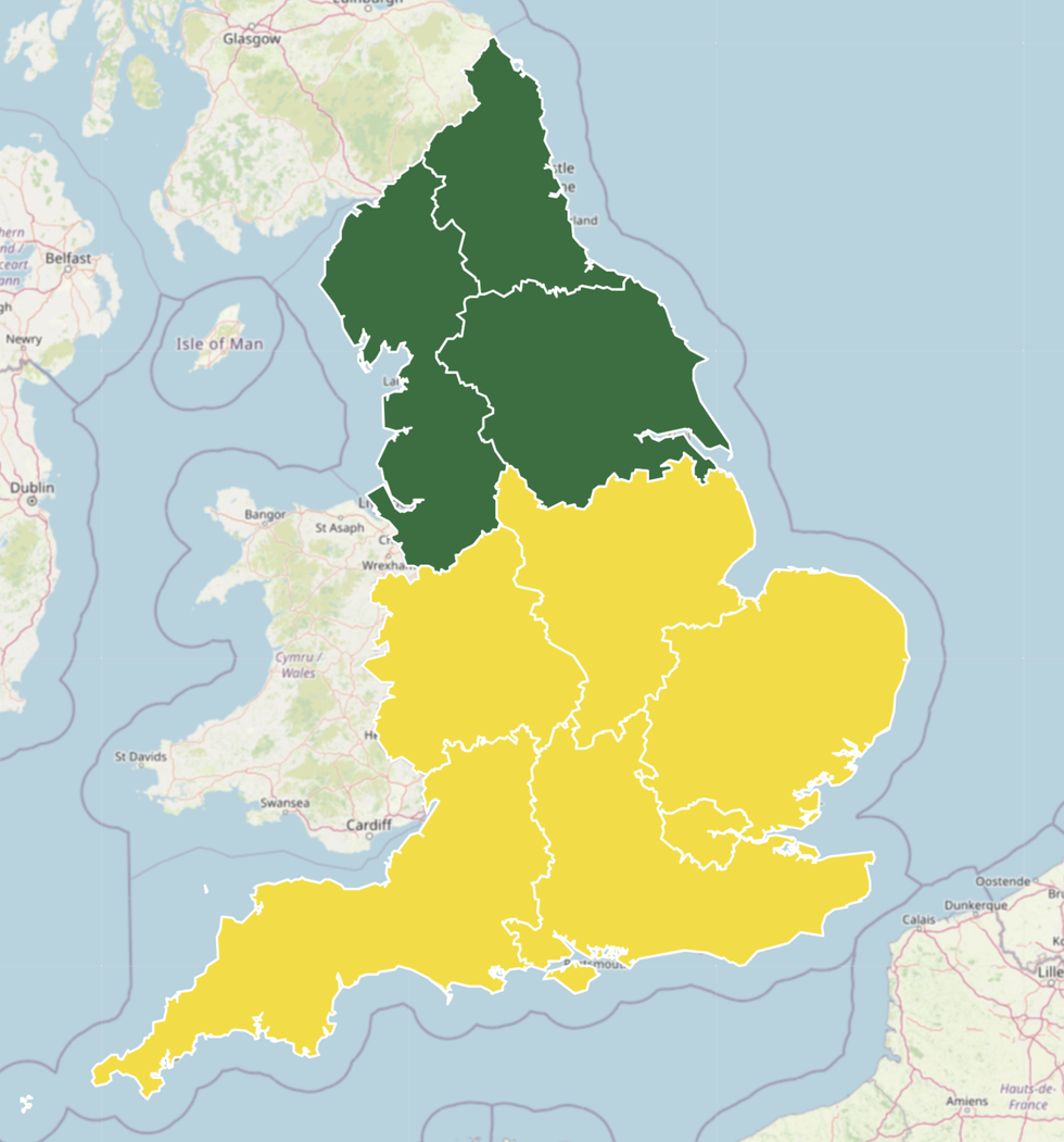
England is facing heat health alerts, ranging from milder green warnings to more impactful yellow cautions.
Soaring temperatures has led the UK Health Security Agency to warn about an observed increase in mortality among those aged over 65, an increased demand for remote healthcare services, mercury to soar in care settings and an impact on services being delivered.
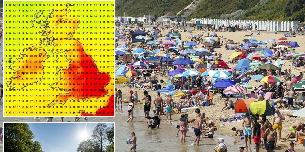
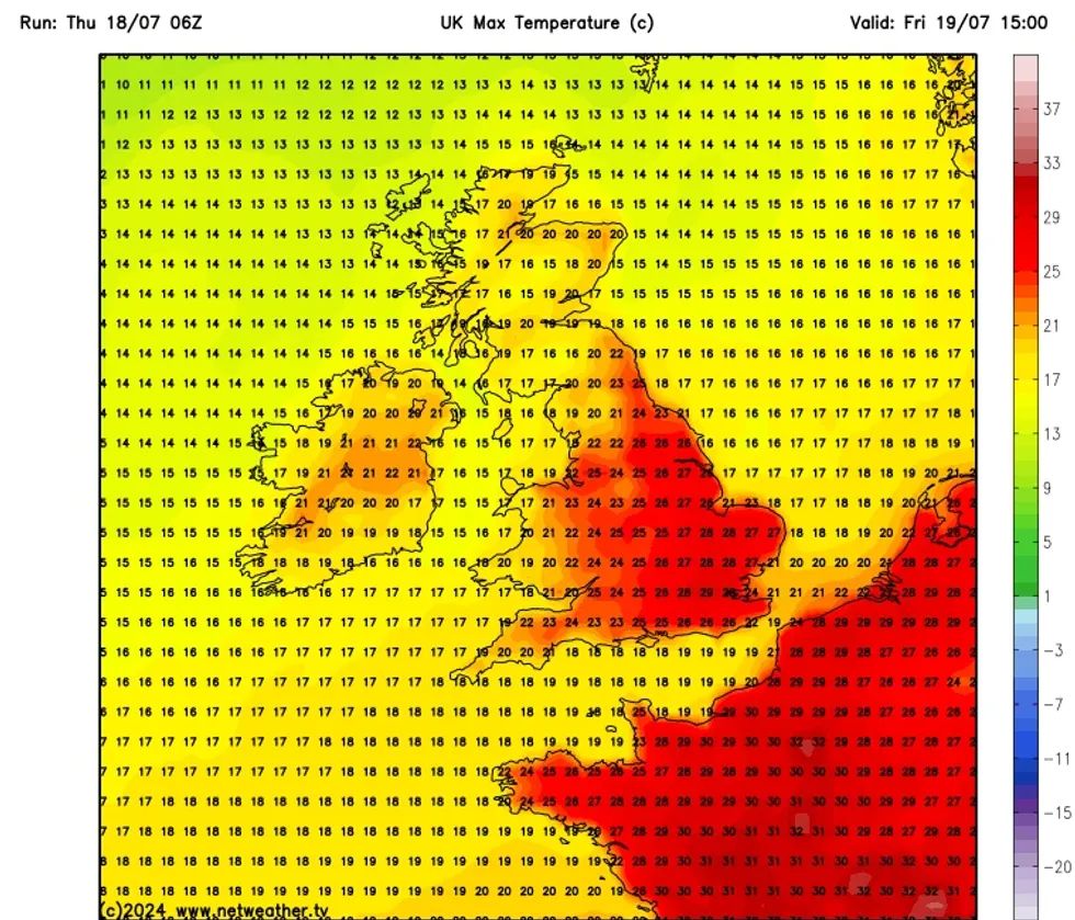
Netweather is forecasting mercury to hit as high as 29C in London, with much of the East of England seeing temperatures reach 28C.

Shift in jet stream sparks welcome surge in temperatures as Britain set for mini-heatwave
PA/NETWEATHER
The South West will hover around the low to mid 20s, with the rest of England experiencing slightly warmer conditions.
Scotland and Northern Ireland will not have the chance to bask in as much summer sunshine as temperatures look to stabilise closer to 20C.
Netweather’s Nick Finnis wrote: “It’s looking to turn drier and much warmer for the rest of the week across much of England and Wales.
“This is thanks to the jet stream shifting further north to be just to the north of Scotland by Friday, something that’s not happened very often this summer so far, as the map of winds at jet stream level show since the start of June.
LATEST DEVELOPMENTS:

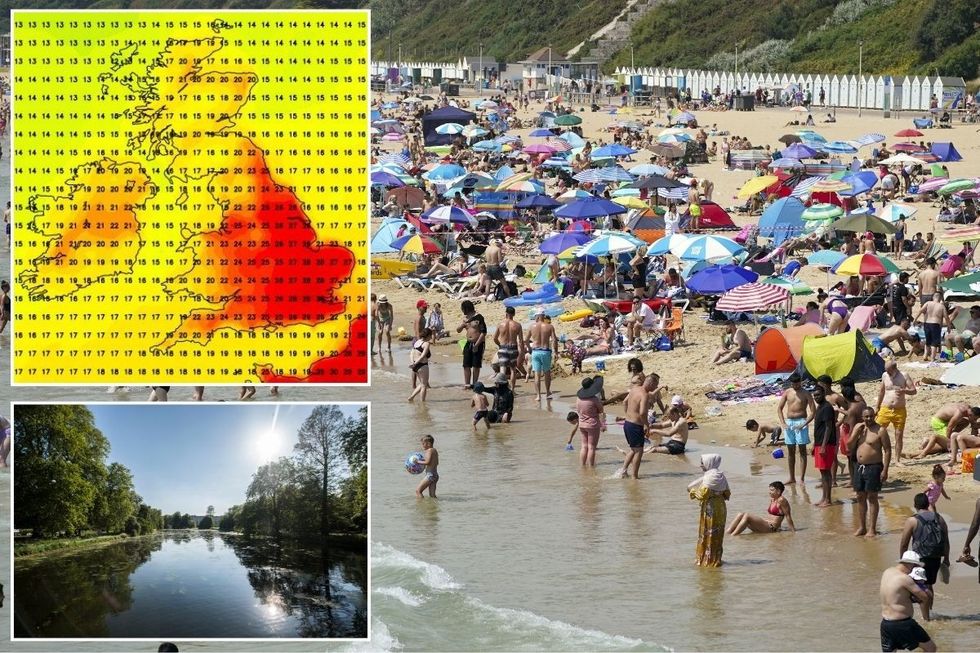
Netweather is forecasting mercury to hit as high as 29C in London, with much of the East of England seeing temperatures reach 28C
NETWEATHER
“The jet stream has been mostly south of the UK over Spain or southern France since the beginning of summer, with the UK on the cool side of the jet stream and, recently, often near low pressure, as lows tend to be on the north side of the jet stream.
“Hence the often-cool conditions so far this summer, with the first halves of June and July experiencing below average temperatures.
“Although June was dry for many, it has been wet during the first half of July, with areas of low pressure crossing the UK.”
He added: “The next few days, though, will see jet stream lift to the north of the UK, which combined with a deepening low moving northeast to the northwest of Britain, will allow very warm air to be sucked north from Iberia and NW Africa by the end of the week.
“The highest temperatures will be across southern, central and eastern England and look to peak on Friday, with 30-31C forecast in SE England. “
The Met Office is also suggesting warmer weather could stay for some time.

The UKHSA has issued heat alerts across England
UKHSA
The UK’s national weather service forecast from July 23 to August 1 said: A longer-lived and more widespread spell of dry and sunny weather may develop for a time during the middle part of next week, particularly across southern parts of the UK where conditions may turn very warm for a time.”
However, the Met Office added: “Otherwise, changeable weather patterns similar to those that have dominated July so far, seem likely to continue for the rest of the month.
“Showers and occasional spells of more persistent rain are likely to affect all regions at times.
“However, some drier and brighter interludes are also expected, these most likely in southern and eastern regions.
“The most frequent spells of wet weather are most likely to be across northern and western areas.
“Temperatures mostly close to average for a time, with any warmer spells generally short-lived.”






Post comments (0)