A titanic storm barrelling in from the Pacific will blow a 500-mile winter deluge across the United States amid warnings for the ‘first meaningful snowfall’ of winter.
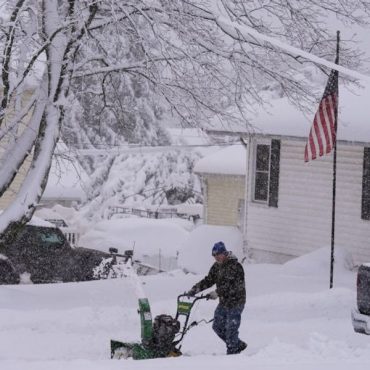
More than a foot of snow could blanket hills and mountains this weekend as the furious snow tempest smashes in from the west coast and heads to the Great Lakes.

Storm blows through
The weather channel
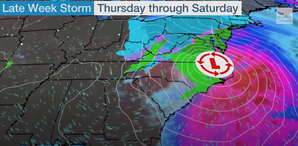
Weather Channel meteorologist Domenica Davis said: “We are tracking a weekend storm and this is going to be a big talker because this has the chance of being the first meaningful snowfall for parts of the northeast.
“There are question marks for strong winds in the forecast, and in the northeast a storm is going to develop this weekend.
“The rain-snow line will expand as this pushes into the Ohio Valley, and we are going to be watching this closely.
“It is not just the northeast that gets into this winter weather.
“We could see this develop into a snowstorm this weekend, and it is something we are going to be watching very closely.”
US LATEST:

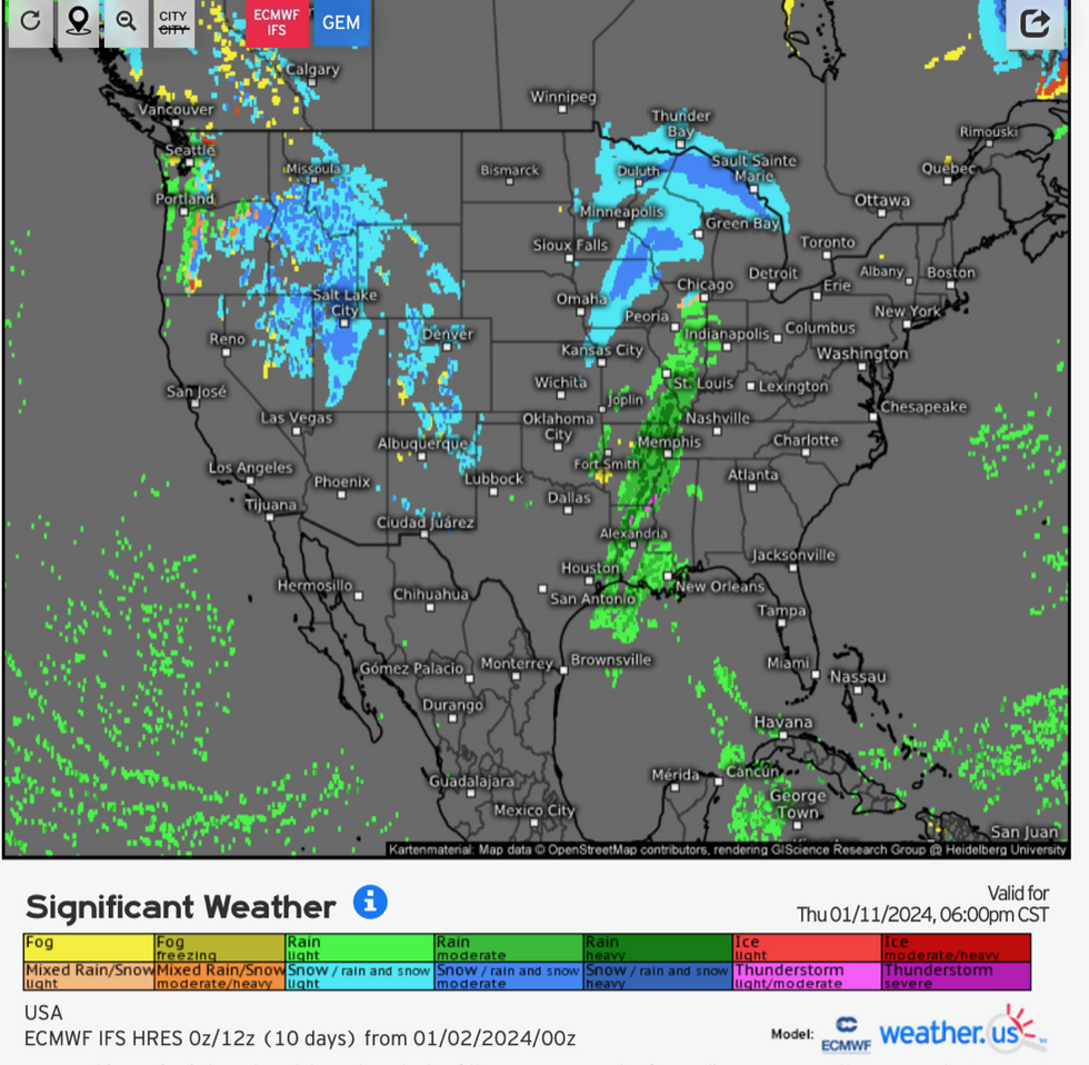
Risk of snow across the US
Weather.US
Torrential rain will be pulled in by a tropical plume from Mexico which will push temperatures up in the far south.
Here, experts have sounded the alarm for flash flooding with an intense deluge threatening inches of rain in a short period.
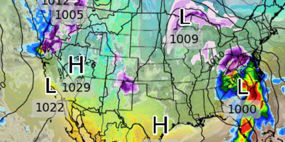
America’s weather will be put through the wringer by two storms, one coming in from the west coast and another developing further inland.
The combination of the two threatens to unleash a band of snow from Ohio, across Colorado and the Midwest to the Great Lakes and the northeast.
A powerful storm will whip up strong winds, ‘accumulating snow’ and heavy rainfall as it moves through, according to the National Weather Service (NOAA).
Northern California is in the firing line for some of the heaviest rain while plunging temperatures will bring snow to higher ground.
A NOAA spokesperson said: “After a mostly quiet start to the new year, the weather pattern will get more active across multiple areas of the country.
“A Pacific storm system approaching the west coast… will bring moderate to locally heavy rain to coastal and lower elevations of the Pacific Northwest and California, as well as some potentially heavy snow for higher mountain elevations.
“The heaviest rainfall is most likely along the northern California coast where totals
above an inch will be possible.
“In the mountains, higher elevations of the Northern Coastal Ranges, Klamath Mountains, and the Sierra will see moderate to locally heavy snow with totals of six to twelve inches, and locally, higher.”





Post comments (0)