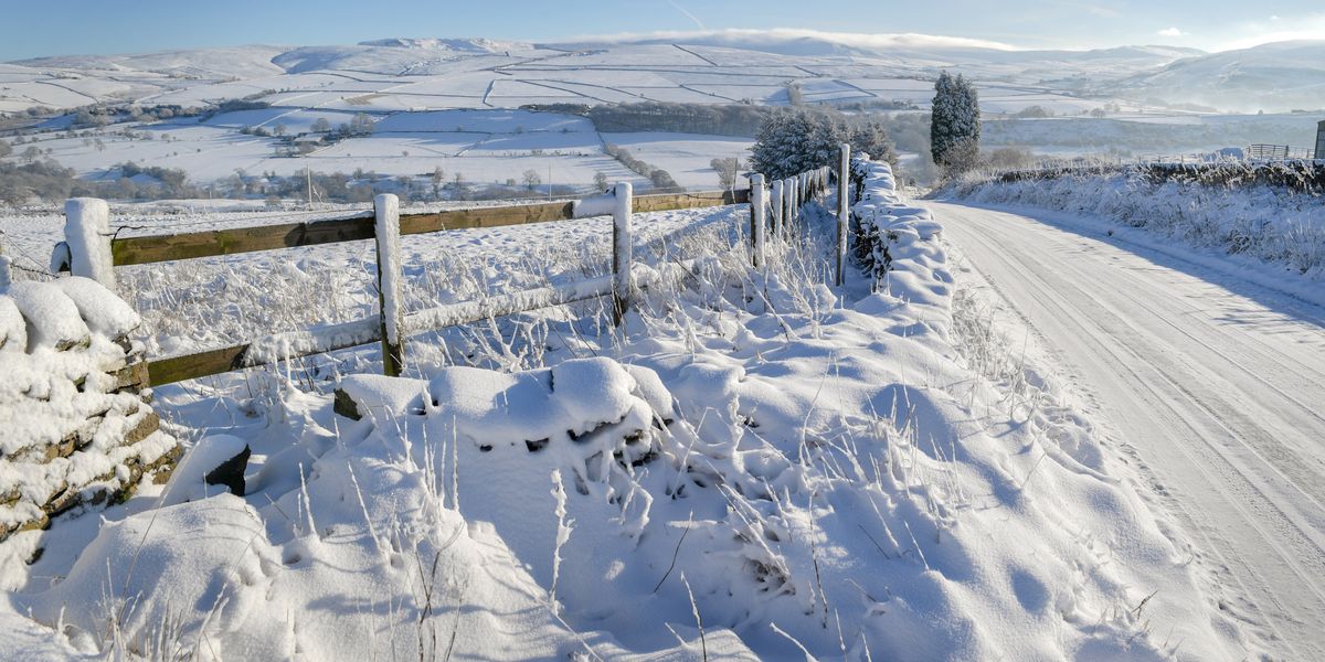
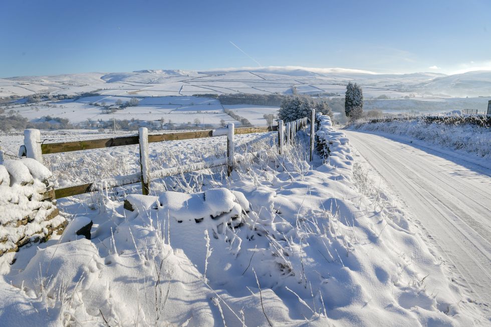
The Met Office has warned that “blocking patterns” could bring snow as far as southern Britain and “wintry conditions” until April.
Britain’s national weather service said snow and ice could be brought by northerly and easterly winds from the Arctic and Scandinavia.
Although the Met Office is not able to predict the exact areas affected due to the extended timeframe of the forecast, it did suggest that the likelihood of snow and ice developing will decrease as the month progresses.
The forecaster added that temperatures are likely to be near or below average.

Met Office warns ‘blocking patterns’ set to bring snow to southern Britain
Getty Images
According to the Met Office long-range forecast covering the period between March 17 and March 31, winds from the north could bring snow and ice.
The Met Office said: “During the rest of the month, there is an increase in the chance of blocking patterns, with winds blowing more frequently from the north and east than is usual.
“At this time of year, winds from this direction can still bring wintry hazards, such as snow and ice, but the risk of these is likely to decrease as the month progresses.
“The wettest conditions are most likely to be in the south, with northern areas drier overall.
LATEST DEVELOPMENTS:

The Met Office warned ‘winds from this direction can still bring wintry hazards;
Getty Images
National Highways: South-West echoed the Met Office alert as it issued an update showing snow covering two motorways via the CCTV traffic cameras.
In their update, the highways agency said: “Please allow extra time this morning if you’re travelling in the region as there’s been a flurry of snow across our network.
“Be reminded that gritting doesn’t prevent snow from settling on the road.
“A yellow Met Office snow warning is in place until 10:00.”


Post comments (0)