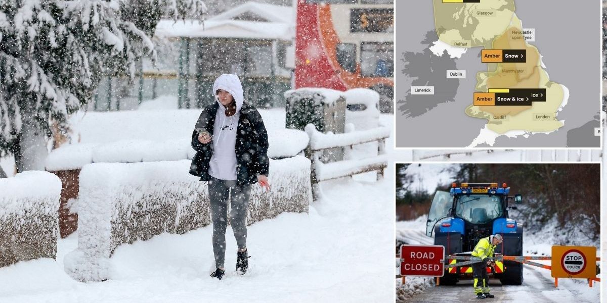
The Met Office has upgraded its snow warnings to amber as Britons now face “hazardous” driving conditions.
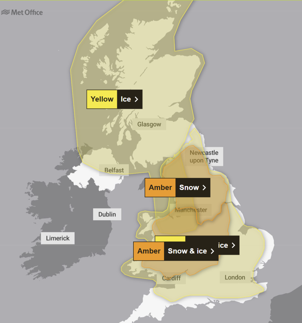
An amber snow warning is in place across much of the north of England between 9pm tomorrow and 11.59pm on Sunday.
The other amber snow and ice warning impacts parts of England and Wales from 6pm tomorrow to 12pm Sunday.
Remaining yellow warnings remain in place between Friday and Monday.

The Met Office issued amber warnings
MET OFFICE
In the amber warning impacting the north of England, the Met Office said: “Snow will reach the south of the warning area later Saturday, then spread north across the rest of the area through Sunday morning.
“Snow will be persistent and heavy at times, and will likely drift in brisk easterly winds, especially over higher ground.
Much of the warning area can expect 3-7 cm of snow. Areas above about 150 m will likely see 15-30 cm, with 40 cm for ground above 300 m, before snow begins to ease and clear by the end of Sunday.
“For some lower-lying areas, such as the Vale of York, snow may mix with rain at times making estimations of snow depths here more difficult.

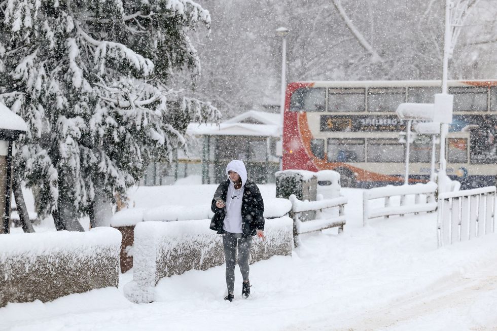
A stock image of snow in the UK
GETTY
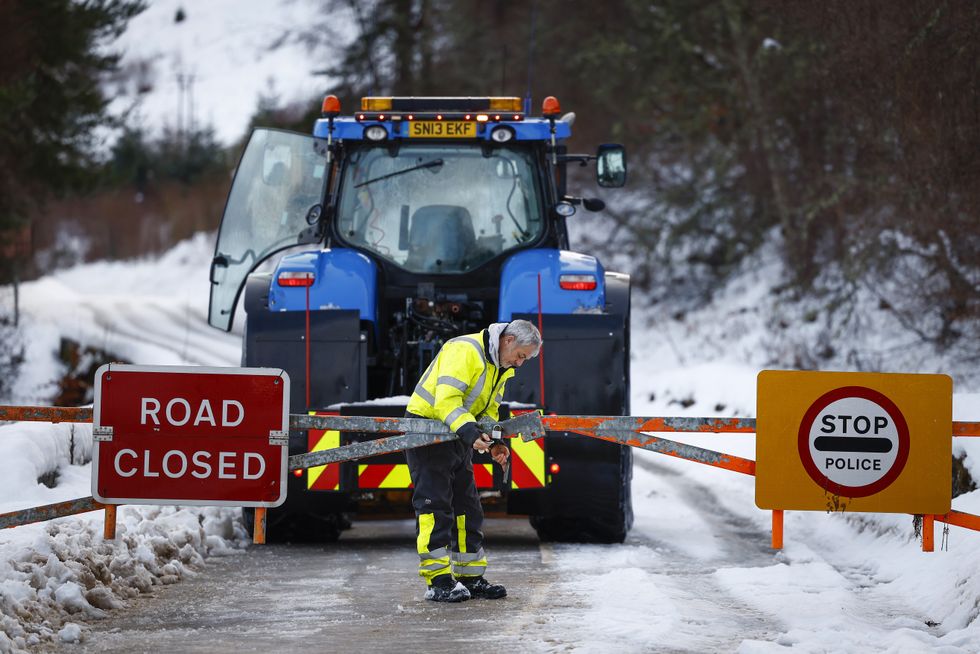
“Regardless, travel will likely be difficult, with power line icing an additional impact.”
The UK’s national weather service added for its second amber alert: “Snow will become persistent and locally heavy as it pushes south to north across the warning area.
“As well as snow, a period of freezing rain is also likely bringing some hazardous travel conditions, before milder air follows across all areas by Sunday morning.
Whilst there is some uncertainty in details, 3-7 cm of snow is likely for much of the warning area, with locally 15-30 cm for the higher ground of Wales and the southern Pennines.

“Freezing rain could lead to ice accretion in places, especially parts of Wales, before the milder air leads to a rapid thaw of snow and ice in the south of the warning area through Sunday.”
The latest set of warnings come after NHS trusts urged people to avoid going outside in the morning and evening.
The UK Health Security Agency’s amber alerts, which remain in place until January 8, also warn of a likely rise in deaths.
Britons aged over 65 remain particularly vulnerable, as well as those with health conditions.






Post comments (0)