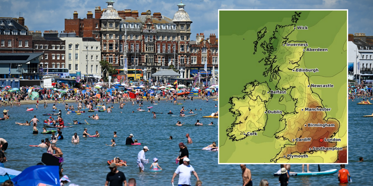
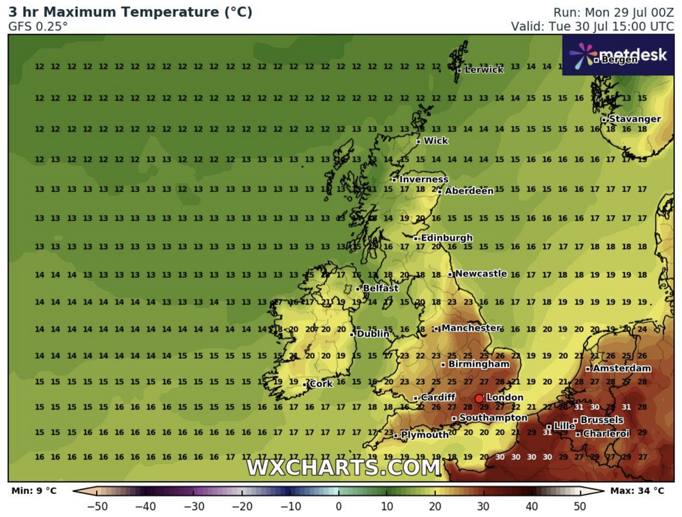
Temperatures are set to rise across the UK with the Met Office predicting highs of 32C by Tuesday.
It follows a weekend of sunny weather with much of the country enjoyed fine and dry conditions over the weekend.
The Met Office defines an official heatwave as at least three days where the temperature exceeds a defined temperature threshold. This is 25C for most of the UK but rises to 28C in London and its surrounding area, where temperatures are typically higher.
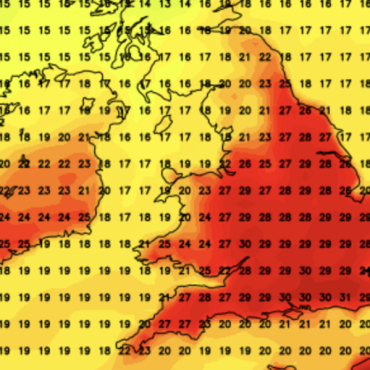
London and the southwest are expected to reach over 30C while other parts of the country will see temperatures four or five degrees warmer than average for this time in July.

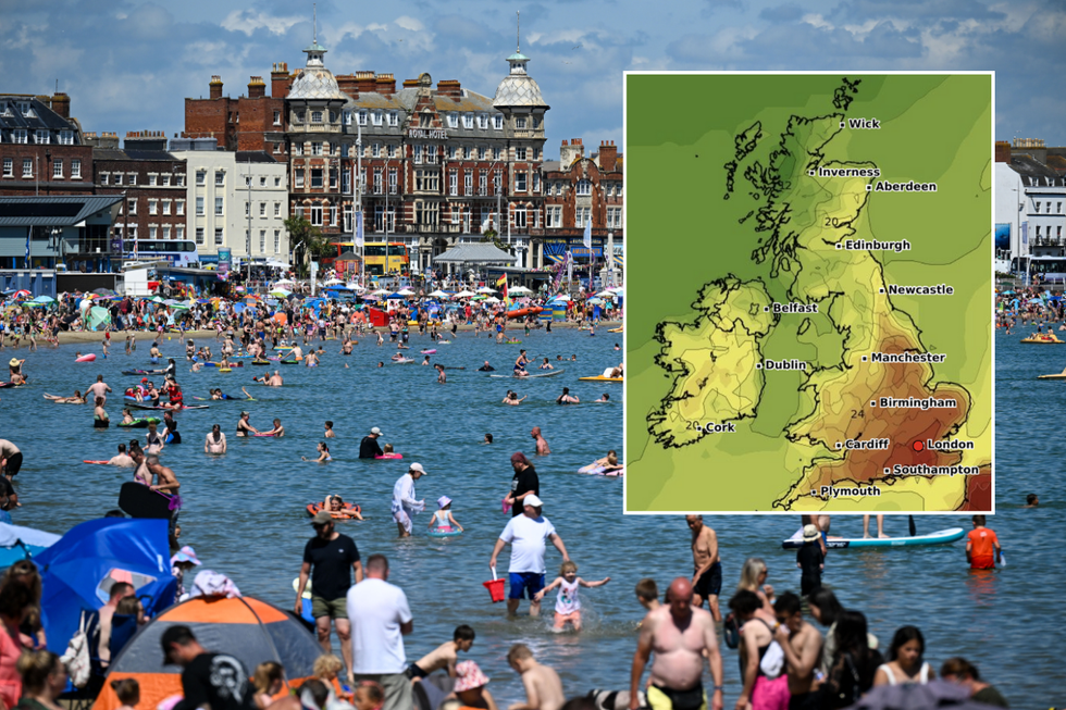
Temperatures are set to soar once again
WXCharts/Getty
Met Office forecaster Simon Partridge said: “There is certainly potential that it could become an actual official heatwave, because in the spells you’ve had before it hasn’t actually met all the criteria.
“If there’s not, it’s very close to it, and if you’re out and about and a member of the public then it’s going to feel like a heatwave anyway, because also overnight things are going to turn a little bit more humid and muggy day-on-day as well.”
Only the far northwest areas of Scotland and parts of Northern Ireland will see some cloud and possibly rain on Monday and Tuesday.
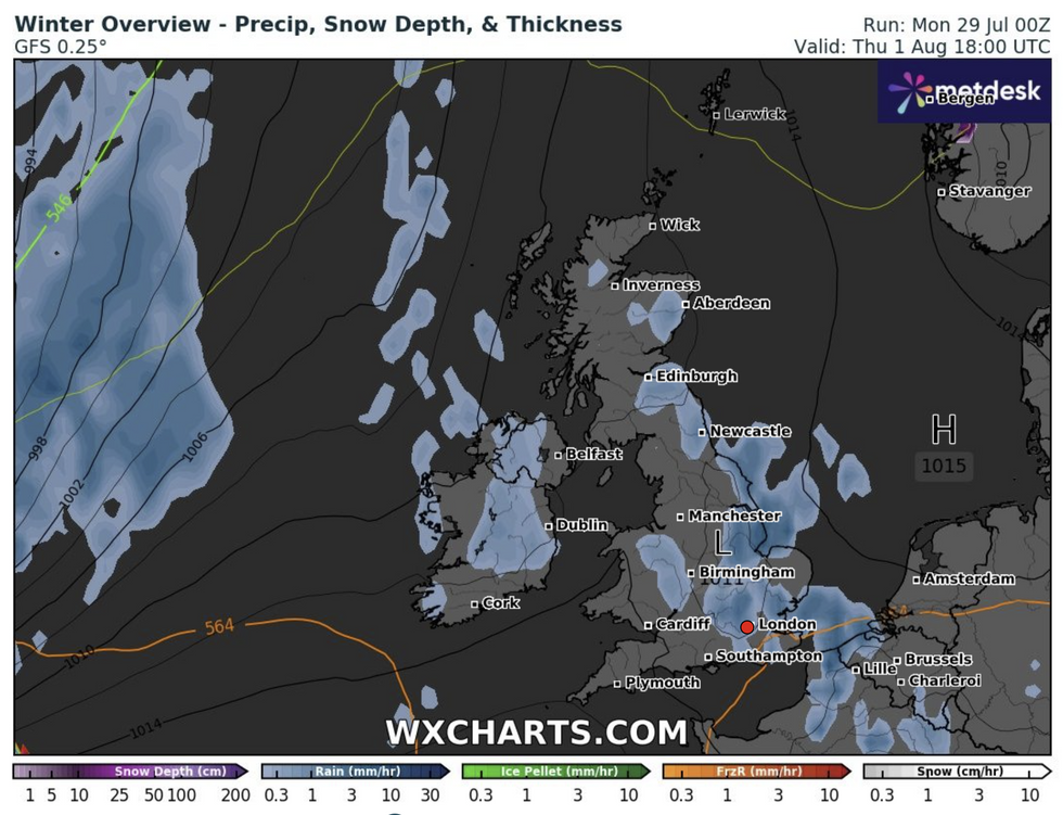
However, the summery spell could end abruptly on Wednesday with some heavy thundery rain expected, although uncertainty remains whether this will be just across the south of England or other parts of the UK as well.
LATEST DEVELOPMENTS:

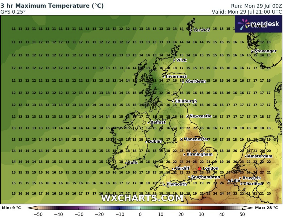
Temperatures are expected to remain high for the rest of the day
WXCharts.com

Temperatures could reach as high as 29C
WXCharts

There could be some showers on Wednesday
WXCharts.com
Despite the sudden showers, temperatures are expected to stay high heading into the start of August.
Partridge added: “Usually you get these thunderstorms come through and then everything’s a lot cooler and fresher, but although it will be a bit fresher at the end of the week, it will still be about where we should be, if not a degree or so warmer. So a bit of summer is on the cards.”
Looking into the end of the week, the current forecast from the Met Office said: “Mostly fine in the north on Wednesday. [There will be] sunshine further south, but an increasing chance of thundery rain.
“This is clearing eastwards on Thursday. [It will be] fresher with sunshine and showers on Friday.”
Looking into the longer range forecast, the Met Office predicts north-western areas will probably experience rather breezy conditions with cloud and some outbreaks of rain or drizzle as weakening Atlantic frontal systems push eastwards across the UK.
Toward the south and east, it is set to be drier and brighter much of the time, although there is also the small possibility of some thundery showers spreading in from the nearby continent.






Post comments (0)