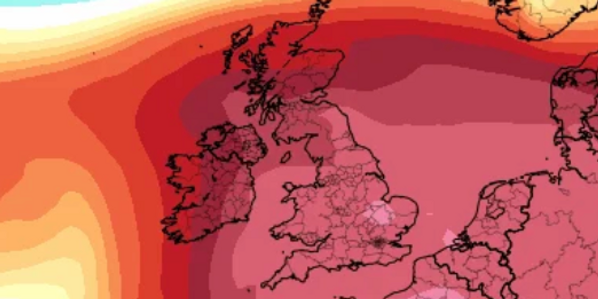
A subtropical air plume is to cause temperatures to rise across Britain as parts of the UK will hit 17C today.
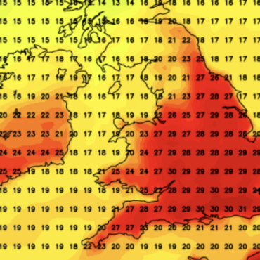
Conditions are set to be warmer than Corfu, Greece across southern England and the midlands while the north will be wet and windy.
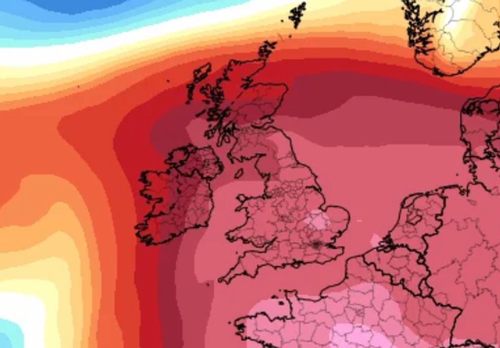
Forecasters predict temperatures to be “well-above average” across England and Wales over the coming days.
Warm air sweeping up from the western Mediterranean will force temperatures to reach the mid-teens across eastern England.
 A subtropical air plume is to cause temperatures to rise across Britain as parts of the UK will hit 18C todayNet Weather
Weather experts suggest slightly cooler air from the west of the Atlantic will hit on Friday – as temperatures drop but still remain above average into the weekend.
Net Weather forecaster, Nick Finnis said: “A very mild start to Thursday across England and Wales.
“A rather wet start to the day across Scotland and northern England, with some heavy and persistent rain, this should clear northeast through the morning.
“But a cold front moving slowly in from the west will see further pulses of heavy rain move northeast along it across SW England, Wales, Midlands and northern England through the afternoon and evening, before the band of rain clears east across England Thursday night.
LATEST DEVELOPMENTS:
“Ahead of this rain, turning drier towards eastern England and should there be some sunny spells here, temperatures could reach 16C – 17C in the southerly flow drawing air all the way from the western Mediterranean.”
In northern England and Scotland, conditions are expected to be cloudy and breezy with further rainy spells throughout the rest of the week and over the weekend.
A Met Office spokesperson added: “Generally cloudy with spells of rain throughout, heaviest and most persistent in the west.
“Areas in southeast England seeing bright, even sunny spells. Feeling very mild away from the north, especially in brighter periods.”
 Forecasters predict temperatures to be ‘well-above average’ across England and Wales over the coming daysNet Weather
Unsettled weather is predicted to return next week after a drier blip on Monday, with pressure falling from the west and spells of wind and rain moving east off the Atlantic.
Temperatures are expected to become increasingly colder as conditions grow wet and windy.
Finnis added: “These chillier but unsettled and sometimes windy conditions could prevail to the end of the month too, though uncertainty for now.”


 A subtropical air plume is to cause temperatures to rise across Britain as parts of the UK will hit 18C todayNet Weather
 Forecasters predict temperatures to be ‘well-above average’ across England and Wales over the coming daysNet Weather


Post comments (0)