A triple threat of rain, fog and floods will blight the start of 2025 as Britain’s weather takes a dramatic U-turn.
The freezing blast will give way to milder temperatures as the Arctic retreats behind southerly Atlantic gusts.
But with the rising mercury will come the risk of rain and heavy snowmelt in regions already under threat from floods.
Cold foggy mornings will form under high pressure from the south as the nation braces for January to come to a wet and gloomy end.
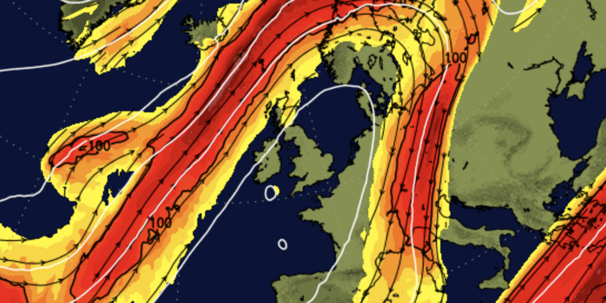
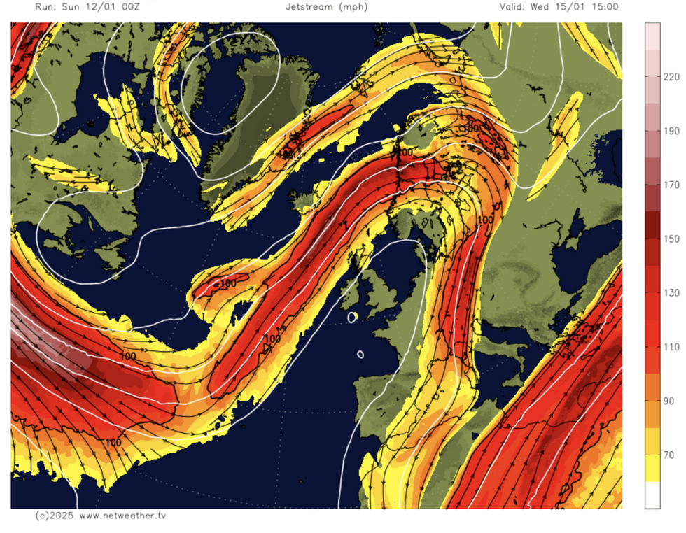
 Jet stream shifts north (Netweather)Netweather
Jim Dale, meteorologist for British Weather Services, said: “We are going to come out of the cold spell and go into a relatively mild period of weather.
“But the quiet weather through the start of this week will end with something more unsettled and we expect hazards from fog, rain and flooding.
“As temperatures rise, snow will melt quickly, and this will worsen the flood risk in parts of the country which have seen heavy snow over the past week.”
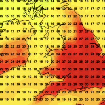
Temperatures pushing minus 20C during the cold snap will cave this week to highs of around 11C or 12C.
LATEST DEVELOPMENTS:

Alex Deakin shows high pressure building over the UK
MET OFFICE
Southwestern and north-western regions will get the mildest weather, while the chill clings to the east coast.
Helping push the milder conditions will be the jet stream as it surges northwards sweeping in southerly gusts.
Over the past 10 days, the jet has been wedged south of the UK, allowing the Polar front – the boundary between the Arctic and the sub-tropics – to descend over the UK.
The shift will drive high pressure to build over southern Britain, boosting the flow from the tropics.
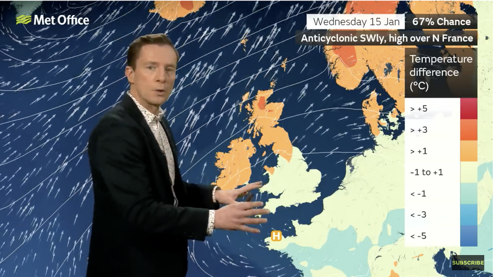
Met Office meteorologist Alex Deakin said: “There is a 50-per cent chance of this pressure pattern being in control on Thursday.
“We are likely to have the flow coming up from the southwest, and we are likely to see weather fronts and wet and windy weather across the northwest at times, but high pressure dominating across the south.
“Compared to average, in this pressure set up, it generally means that northern areas are a little bit warmer than average and with the south-westerly winds, northern Scotland in particular could see those temperatures around three degrees higher than average.”
Cloud and ‘murk’ will keep temperatures down, he warned, adding it will feel pleasantly warm where the sun pokes through.
He added: “So, with high pressure in control, that does mean a lot of dry weather.
“We are likely to see those weather fronts at times bringing wet and windy conditions over the north and the west of Scotland.
“It may start off sunny, but with high pressure in control it often gets contaminated with mist and low cloud and that will bring some dull days.”

Alex Deakin describes higher than average temperatures
Met Office
WeatherOnline meteorologist Garry Nicholson added: “South-westerly air wafts across Britain and Ireland this week, with high pressure persistent over central and south-eastern regions.
“There will be little day-to-day variation and often a lot of cloud with a little rain mostly toward the northwest.
“Temperatures will be nearer to average, or milder in north and western areas.”


 Jet stream shifts north (Netweather)Netweather
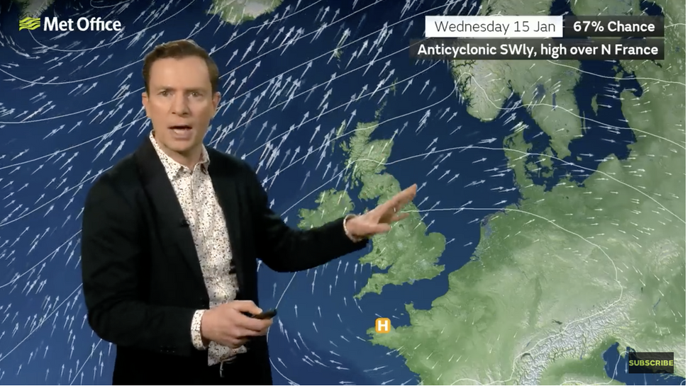


Post comments (0)