Britain is set to bask in a glorious four-day heatwave bringing soaring temperatures of 30C, as the Met Office’s heat health alert comes into effect today.
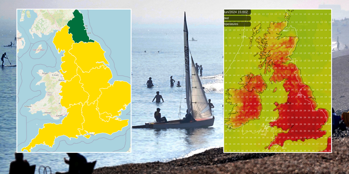
The yellow notification, which is in place for every region in England bar one, begins at 8am today and lasts until 5pm on Thursday.
It was issued jointly by the Met Office and the UK Health Security Agency (UKHSA) last weekend and covers the North West, Yorkshire & Humberside, East Midlands, West Midlands, East of England, London, South East and South West.
A yellow notification indicates that weather conditions could pose a risk to those who are particularly vulnerable. Only the North East has a green colour, which means that no alert has been issued.
As well as health warnings, a telecom expert has warned of broadband blackouts in homes across the UK due to problems caused by overheating of Wi-Fi routers and other essential technology.
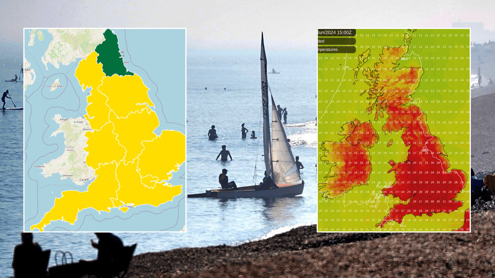
 Britain to set to bask in up to 30C as Met Office issues four-day heat health alertUKHSA/PA/Netweather
The week begins with “very warm sunshine”, with the average mercury in central, eastern and western areas ranging between 25 to 27C.
Liam Eslick, a meteorologist at the national weather service, said the week would kickstart with mostly dry weather with “plenty of sunny spells” and a maximum temperature of 28C.
Tuesday will see some clouds and murky conditions in Scotland and Northern Ireland, accompanied by a few potential showers across the north of England. However, elsewhere, the balmy weather will continue with “more sunshine” and mercury in the mid to high 20s.
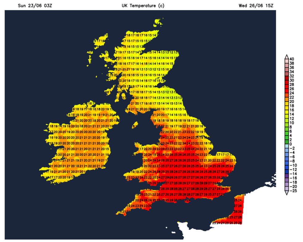
Wednesday is expected to be the warmest day of the three, as in London and southern regions, scorching highs of over 30C are expected to hit, in what is predicted to be the highest recorded temperatures of the year so far.
WEATHER LATEST:

The temperature will soar in the coming days
Netweather
Dan Rudman, Met Office Deputy Chief Meteorologist, said: “Fine conditions will begin this week for much of the UK and this will be accompanied by a boost in temperatures with many places reaching the mid-20°Cs.
“Some central and southern areas are likely to see temperatures approaching the values needed for heatwave conditions.
“Heatwave conditions need to remain in situ for three consecutive days, and by the beginning to middle of the week it is possible that some parts of the UK could be reaching heatwave thresholds.
“However, whether or not everyone experiences heatwave thresholds, the majority of the UK will experience the highest temperatures so far this year.”

Wednesday is expected to be the warmest day of the week
PA
Ian Simpson from Netweather said that the heat will be felt particularly strongly during the nighttime, which will make “cooling off difficult overnight”.
He said: “Some warm and sticky nights are indeed expected during this coming week because, to begin with, we will be bringing in some warm, moist tropical maritime air from the southwest, which tends to be mild and muggy.”
The warm weather will come as a welcome relief for many after Britons have faced a June plagued with downpours and cooler weather.
This year’s spring has been England’s fifth wettest, which saw 32 per cent more rainfall than average.


 Britain to set to bask in up to 30C as Met Office issues four-day heat health alertUKHSA/PA/Netweather






Post comments (0)