Britain is set to feel “much colder” as Met Office maps have indicated that a frosty sub-zero chill is preparing to take over the nation.
After a few weeks of milder weather conditions, the national forecaster has warned that there is an “increasing risk of rain and snow”.
Now that the “anticyclonic gloom” has shifted, colder air will be permitted to sweep the nation in the second half of November.
Last week, the country faced high-pressure which brought grey skies – but now this is set to to change as Britons are advised to wrap up warm.

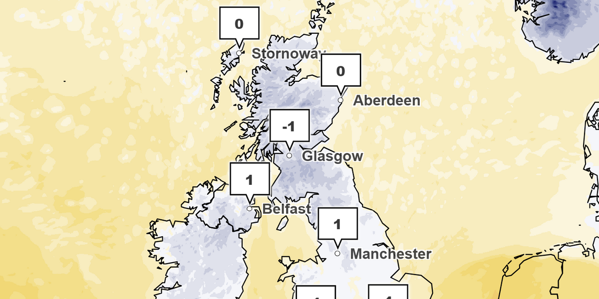
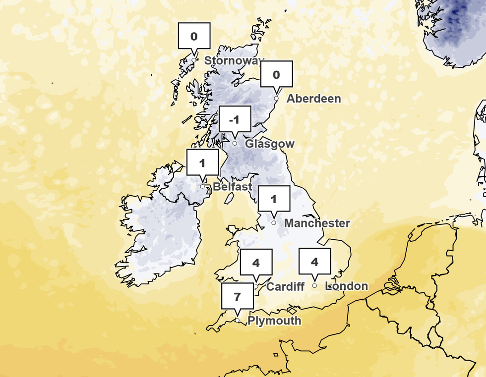
Temperatures will dip below freezing in some parts of Scotland in areas near Edinburgh and Glasgow on Tuesday
Met Office
To begin with, the Met Office has forecast that “hazy spells of sunshine” will be substituted with “cloud and patchy rain across northern and western parts” tonight.
The far north is predicted to be battered by “scattered wintry blustery showers” and will settle down with “clear spells leading to a cold and frosty night”.
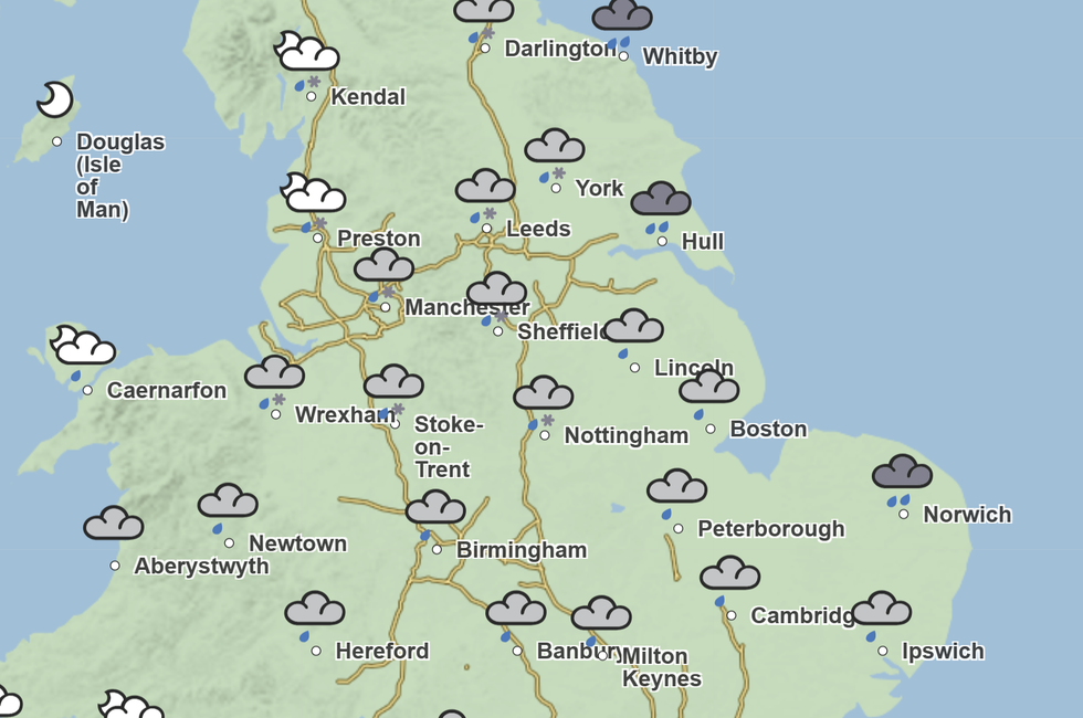
Higher ground in the north is due to see some heavy rain and possibly snow, while the wider country might see some snowfall covering later on in the week.
On the whole, the week ahead is set to be “colder and windier” with “frosty mornings” with temperatures dipping below freezing in some parts of Scotland in areas near Edinburgh and Glasgow.
LATEST WEATHER UPDATES:
Temperatures across the country will drop particularly after this weekend as icy winds are predicted to make some northern areas feel close to -10C.
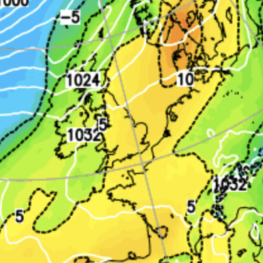
Met Office meteorologist Aidan McGivern said: “By Monday, the most likely set up is a cold northerly wind which, passing over relatively warm seas, will pick up moisture and instability and lead to frequent showers which could come as far as the southwest of England and parts of Wales, and they will be a mixture of rain sleet and snow.
“The further north you are and how high up you are the more likely you are to see sleet and snow with any settling snow over the tops of the hills for England and Wales and Scotland and northern Ireland.
“An increasingly cold wind will bring frequent showers to Scotland and northern Ireland, and it will be cold enough for some sleet and snow especially over higher ground.”

Northern parts of England are predicted to see some snowfall next week
Met Office
When this glacial air meets the milder temperatures from the past week, it could result in strong winds and heavy rainfall across areas as far south as the Home Counties.
Despite snow being mentioned across several forecasters, McGivern has said that “exciting maps” plastered across social media must be approached with caution.
He said: “These may show various parts of the UK plastered in snow by the start of next week, but it’s important to remember when looking at those maps that they are just one computer model simulation of the atmosphere, and professional meteorologists run the computer models dozens of times.”
Still, this winter might see an abnormal amount of snowfall, as ocean temperatures remain higher than average. When frosty air sweeps over warmth and moisture, the water could turn into snow.





Post comments (0)