A sizzling ‘heat dome’ baking the Continent will nudge the UK with a burst of warmth this week before winter roars back.
Temperatures across the country will rocket into double digits as sub-tropical winds feed in from the south.

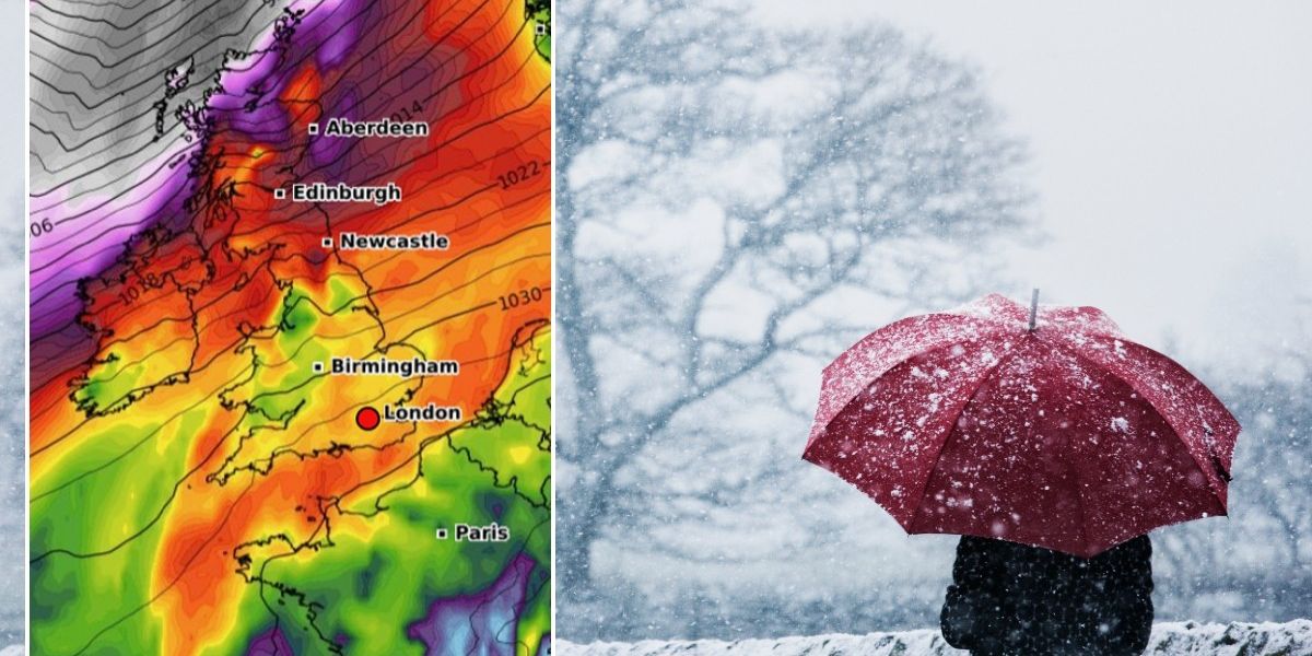
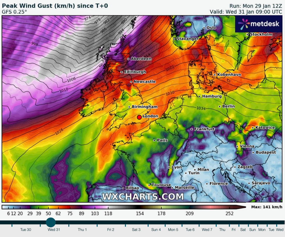
Winds bear down on Britain mid-week
WX Charts
However, snow and freezing winds will return next week, plunging the nation back into the freezer.
And between the warmth and the cold, a powerful storm system will unleash a 85mph mid-week assault.
Milder weather will turn colder through the weekend before Polar winds herald a ‘big change’ back to winter.

Cold snow forecast: Temperatures will begin to plummet next weej
WX Charts
Jim Dale, social commentator and meteorologist for British Weather Services, said: “There is some milder weather on the way later this week as we see an influence from the Continent, currently experiencing very high temperatures for the time of year.
“High pressure is acting like a heat dome, and we are right on the edge of that, so we have been feeling some of the benefit.
“But this is not going to last, and there is a big change on the way from the second week of the month when Polar air will come down.”
Scotland will see the biggest drop in temperatures and the greatest risk of snow over the hills and mountains.
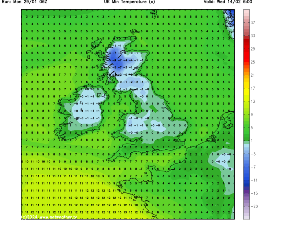
The whole of Britain will feel colder than of late, though, with lows of -8C in Scotland, -2C in northern England and freezing widely elsewhere.

Britain is currently in the throws of a heat dome
GB News
Weather charts for the run up to mid-month show a risk of snow across Scotland, northern and central England and Wales.
Forecasters, however, say the wintry deluge is most likely to hit high ground in the far north.
In the meantime, Britain is facing a ‘mixed bag’ of wet and windy weather with a major storm mid-week to brush the northern fringes.
It will undergo ‘rapid cyclogenesis’ whipping up strong winds, according to Government forecasters.
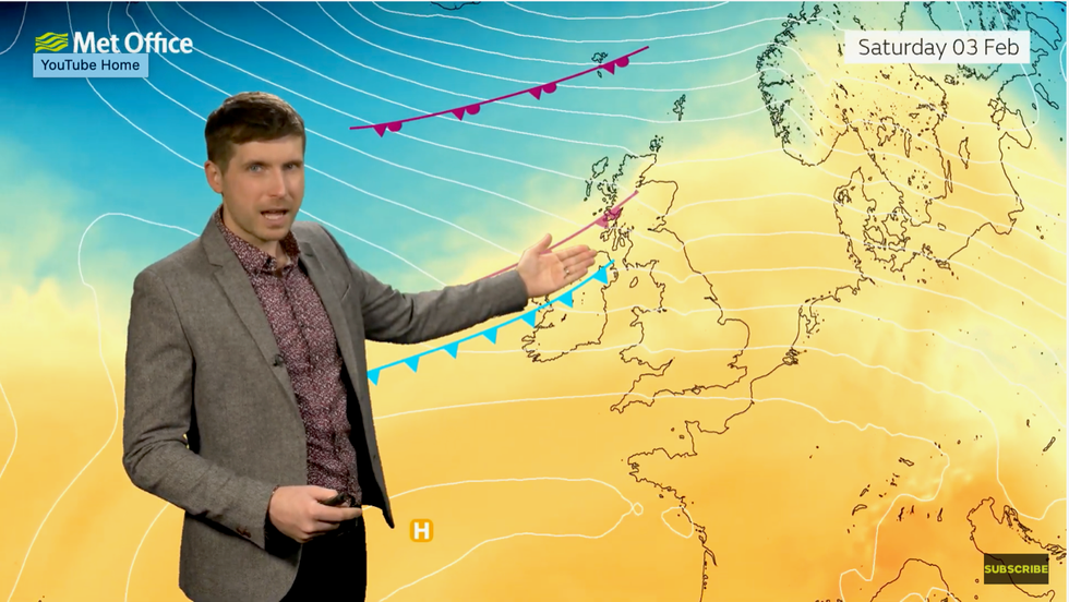
WATCH: Met Office weather forecast
GBNEWS_WEATHER_REGIONAL_EVENING_290124.mp4
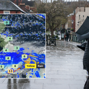
The Met Office has warnings in place for rain in central England on Tuesday and wind across the far north of Scotland on Wednesday.
Met Office meteorologist Alex Burkill said: “There will be some sunshine around, but it is also going to be a bit wet at times and very windy, too, especially during the middle part of the week.
“Our attention then turns to an area of low pressure out in the Atlantic, and this is going to head eastwards towards the UK but as it does it crosses the jet stream and moves to the north of the jet, and as a result it is going to deepen rapidly through something called rapid cyclogenesis.
“It does look like the strongest winds will avoid us, albeit Wednesday is going to be a very windy day particularly across northern parts.”
Temperatures could hit the high teens ahead of the weekend, especially where the sun breaks through the clouds, he added.
He said: “Temperatures are rising, so if we do get any breaks in the cloud towards the east, we could see temperatures quite a bit above average for the time of year.
“We are talking mid- possibly even high-teen Celsius, so feeling pretty mild indeed.”





Post comments (0)