A bitter Arctic blast is about to give way to another possible named storm as Britain’s topsy-turvy weather takes another U-turn.
Temperatures of 15C or higher at the weekend have been trounced by icy gusts pouring in from the North Pole.
But, in keeping with autumn so far, the cold snap will be short-lived with sleet and snow displaced by a stormy blast from the Atlantic.
This year’s trademark tussle between high and low pressure astride the UK will see temperatures rise alongside a blast of wind and rain.

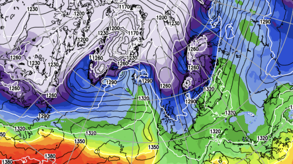
Cold weather is set to make its way down from the north Atlantic
NETWEATHER

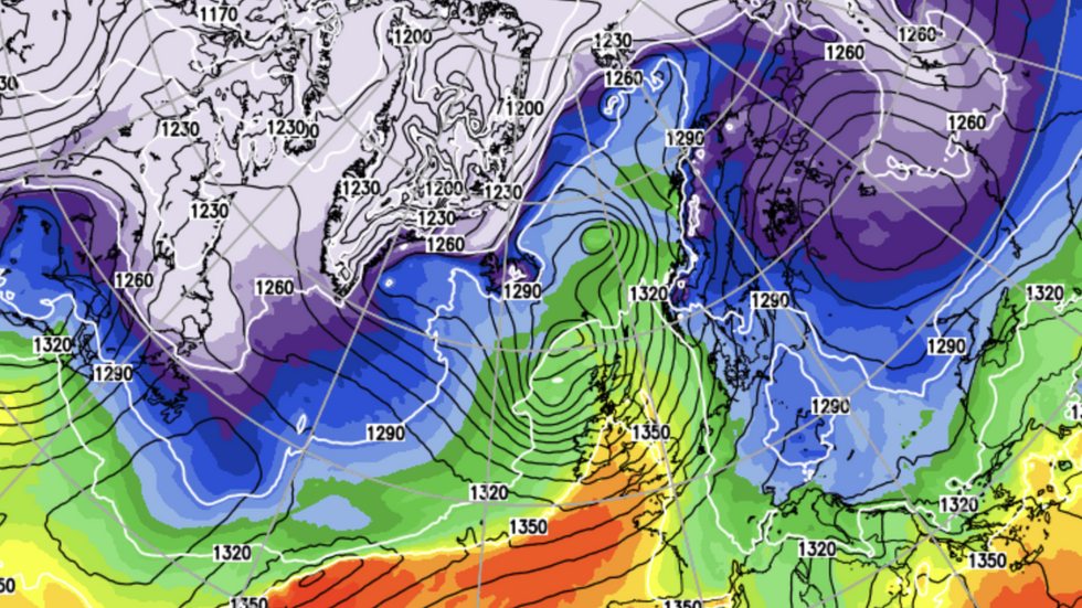
The cold climes will later turn milder across Thursday
NETWEATHER
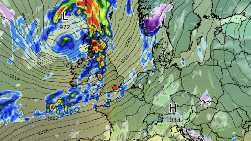
Jim Dale, meteorologist for British Weather Services and social commentator, said: “There is a potential storm arriving towards the middle to end of the week that needs, watching.
“Again, we are looking at low pressure coming in from the Atlantic which could strengthen, and depending on how far this goes, we could be looking at another named storm.
“If this did happen, as this one is tracking to the north, it would be Scotland and perhaps the North of England that would get the worst of it.”
Meanwhile, Britons are wrapping up for another Arctic blast with sub-zero temperatures forecast until mid-week.
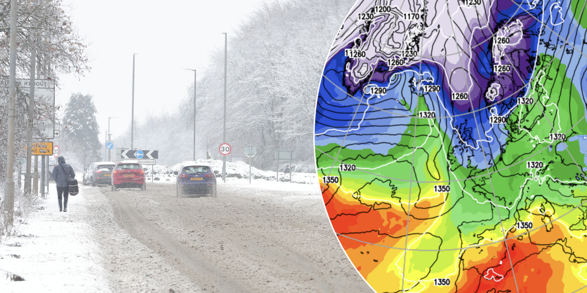
Rain will turn to sleet and snow over northern Britain, with thermometers further south dipping to freezing.
LATEST WEATHER UPDATES FROM GB NEWS:

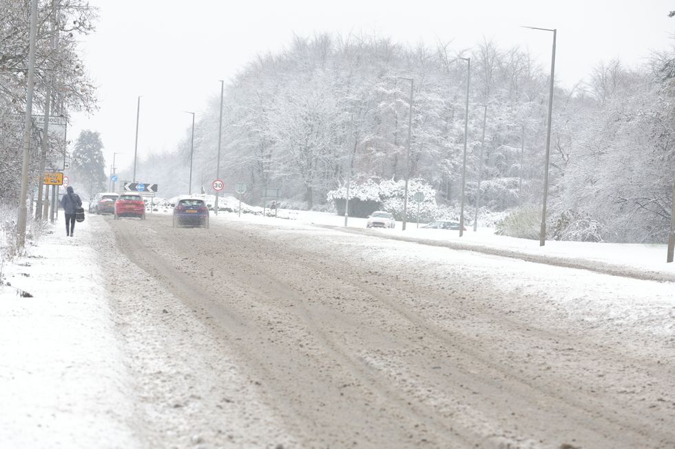
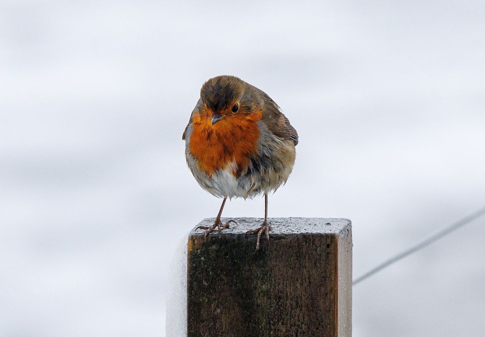
Met Office forecasters have said sleet and snow could be on their way
PA

Jim Dale has warned another named storm could be on the way
WXCHARTS
Met Office meteorologist Ellie Glaisyer said: “It is a really chilly start to the day on Tuesday, with perhaps some mist and fog in places and in the west it is turning increasingly cloudy during the morning.
“There is an area of rain pushing eastwards as we go towards the afternoon, and this will be falling as rain for the south of the UK but on that leading edge as it bumps into that colder air we could see some sleet and snow over the hills through Tuesday afternoon.
“As we go through the rest of the week, a weather front pushes its way eastwards and we then see a very brief ridge of high pressure developing through Wednesday daytime before multiple areas of low pressure arrive from the west through the second half of the week, drawing milder air up from the southwest and turning wet and windy.”
Britain has for the past few weeks become a battle zone for high and low pressure, with temperatures yo-yoing between freezing and the mid-teens.

Ladbrokes’s Alex Apati said ‘it’s looking increasingly likely a White Christmas will be on the cards’
PA
A strong jet stream which steered Storms Bert and Conall in from the Atlantic during the end of autumn shows no signs of shifting.
Dale said: “The weather has been Atlantic dominated through the past weeks, and after this colder spell, that pattern will return.
“Low pressure fronts coming in from the west will bring more in the way of wind and rain, and towards the end of this week, northern Britain is on watch for something that could turn stronger.
“It will be wetter in the west, and drier in the east.”
Despite the mixed outlook, bookies are keeping an eye on festive snow – with Ladbrokes cutting the odds on a White Christmas.
Spokesman Alex Apati said: “It’s looking increasingly likely a White Christmas will be on the cards, with Brits set to be battered by snow during December.”






Post comments (0)