Britain is about to become a battle ground for a ‘cyclonic-anticyclonic’ conflict triggering yo-yo temperatures and the risk of another named storm.
A bizarre weather set-up driven by pressure systems competing into the festive season promises spring-like temperatures followed by harsh frosts and autumn storms.
After an icy end to the week, thermometers this weekend in parts will rise into the mid-teens before plunging back below freezing.
Then, a barrage of Atlantic low-pressure ‘cyclonic’ storms steered in on the jet stream will collide with a high-pressure ‘anticyclone’ threatening stormy weather.

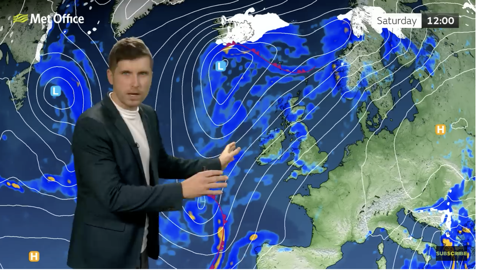
Met Office’s Alex Burkill describes the conflict between high and low
Met Office
Met Office meteorologist Alex Burkill said: “The most likely regime goes with the idea of higher pressure somewhere towards the east or the south of the UK and lower pressure towards the north and northwest.
“This boundary between the low pressure and the high pressure is where there is quite a bit of uncertainty and that will dictate how much we see the rain and where we see the wet and windy weather pushing through.
“A ridge of high pressure is likely to settle thigs down for a short period of time, but with that we are likely to see cooler air returning and so temperatures dropping down and again that means we are likely to see some frost and fog and some freezing fog as we go through Monday night into Tuesday.”
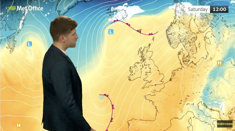
As high pressure moves east this weekend, southerly winds will push temperatures around 6C above average for early winter.
LATEST DEVELOPMENTS:

Milder air floods the UK this weekend
Met Office
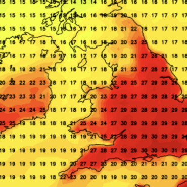
Southern Britain will nudge 14C while even further north, the mercury will hit between 10C and 12C.
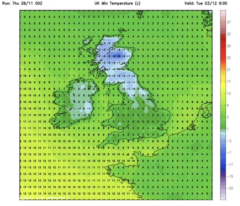
Fast forward three days, and Scotland will shiver in lows of -8C while the south drops to near freezing.
Mr Burkill said: “High pressure drifts away towards the east and so the slightly more changeable cloudy wet and more windy weather will start to make its way across the UK as we go through the weekend.
“With that, we are going to see temperatures rising and it is going to be pretty mild for the time of year as we go through this weekend, but changeable.

Colder weather is on the horizon again though
Netweather
“Behind it more unsettled weather waiting to come in with various systems waiting out in the Atlantic, and it is this theme that we are going to see more of as we go through the next 10 days.”
Some weather forecasts show a stormier, though less likely, picture he warned, and the potential for a more disruptive event during the start of December.
Jim Dale, meteorologist for British Weather Services and social commentator, said: “We are in this pattern of more changeable weather, and there is the potential for another storm as we go through December and the run up to Christmas.
“In the meantime, though, it will turn very mild in that southerly, with temperatures higher than average for the end of Autumn.”


Post comments (0)