Conflicting weather forces between Iceland and the tropical Azores will turn Britain into a 10-day “battle zone”.
This weekend will kick start the chaos with nationwide warnings in force for sleet, snow and freezing rain.
An Atlantic storm poised to crash into Britain, currently freezing in Arctic winds, will unleash the first real winter blast of the season.
Met Office meteorologist Alex Burkill said: “We have a system that is likely to track its way up from the southwest as we go towards Sunday.

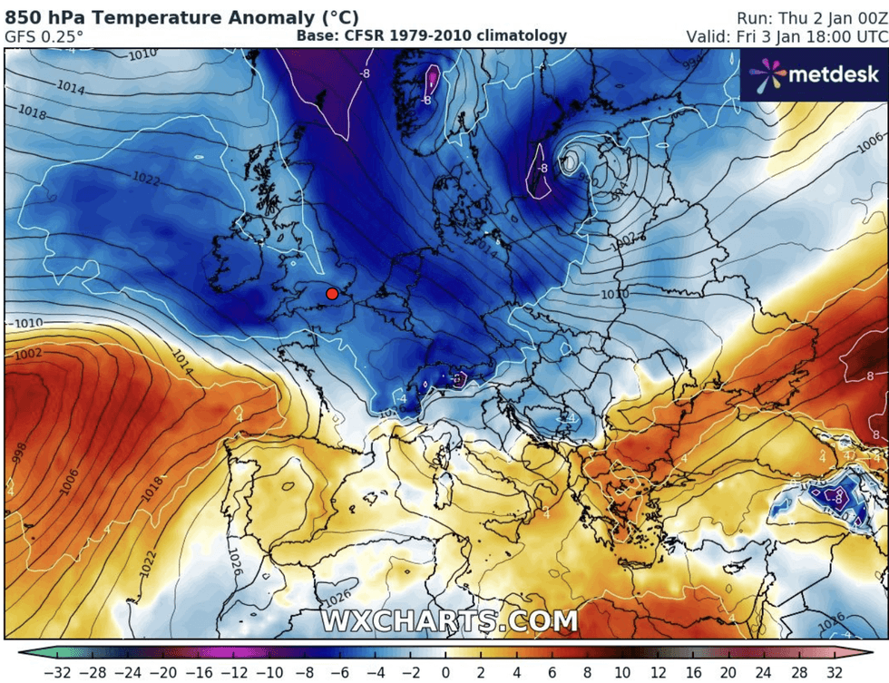
An image of NetWeather’s temperature anomaly
NETWEATHER
“There is likely to be some sleet and snow on the northern edge of this, and we are likely to have cold Arctic air across much of the country, coming down from the north.
“As this system, with some warmer air in it, bashes against that colder air there is a high chance that we will see some sleet and snow.”
Britain’s weather through the start of the year will be dominated by yo-yoing pressure currents straddling the nation – the so-called North Atlantic Oscillation (NAO).
A ‘negative phase’ of this system through the coming weeks threatens a greater risk of winds from the north and east brining colder weather.
Burkill said: “As we go through the first week or so of January there is a slightly higher chance that we see a negative North Atlantic Oscillation (NAO).

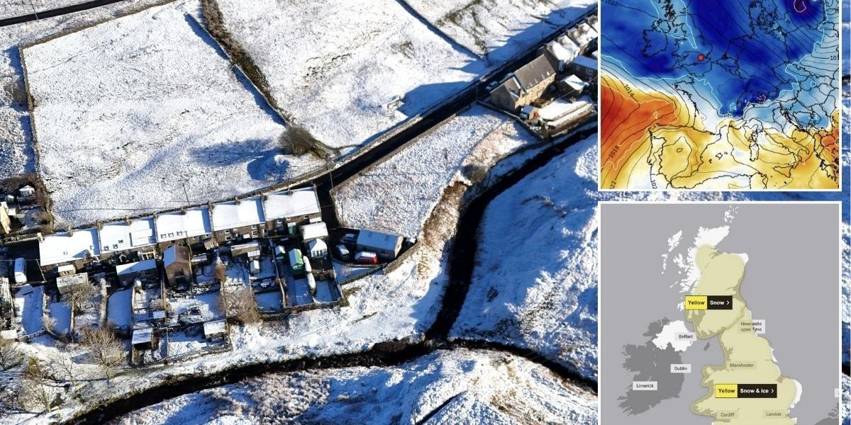
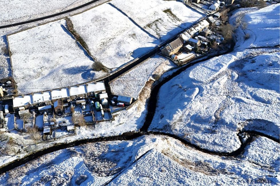
An image of snowfall on January 2
PA
“This is looking at low pressure to the north around Iceland and high pressure to the south around the Azores and seeing what the difference is.
“The negative NAO is more likely, and that suggests low pressure somewhere just to the south of the UK and more settled towards northern areas, and that is going to be the trend as we go through the next week or so.”
Continuing the trend of 2024, conflicting weather models disagree on where the weekend storm will take its first swipe.
Some models suggest it will track to the south of the UK, while others point to a northerly path meaning more widespread disruption.
However, Britons across the country are warned for disruptive weather as stormy westerly winds lock horns with the Arctic.

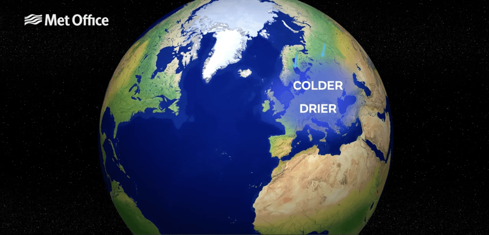
Met Office showing colder conditions clash with drier conditions
MET OFFICE
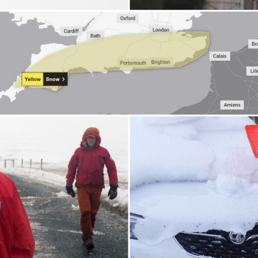
Burkill said: “This weekend it is quite likely that we will see some severe weather, and it is not out of the question that we will see some sleet and snow in parts of the south.”
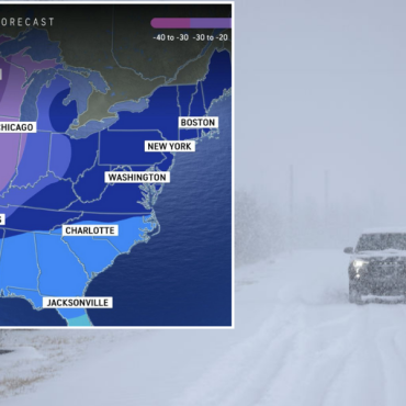
Temperatures through the coming days could drop to minus double figures in exposed parts of the north.
The Met Office has issued a near country-wide warning for snow this weekend as winter bares its teeth.
Long-range forecasters warn the UK will be stuck in a weather battlefield, with storms and bitter blasts to rage through January.
Jim Dale, meteorologist for British Weather Services and social commentator, said: “We are going to be in a battle zone for around the next 10 days, and it is going to stay colder for much of this period.
“Currently, we are expecting more of a northerly-north-easterly, and that could push temperatures in parts of the country to minus 16C or lower.
“It is going to be mid-January before we get rid of this pattern.”





Post comments (0)