A sub-zero Arctic plume will sweep unusually warm coastal waters to unleash the first widespread snowfall of the year.
Britons are warned to get their winter coats ready, with frosty showers likely as far south as London and the Home Counties expected within days.
High pressure responsible for the recent ‘gloom’ will make way for a low-pressure system to open the Arctic portal for the coldest snap of the year.
Temperatures across Britain will nosedive after the weekend with icy winds in the north making it feel close to -10C.

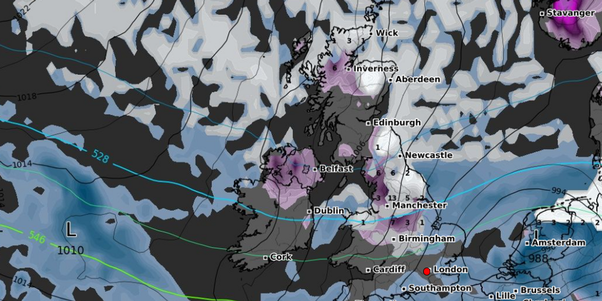
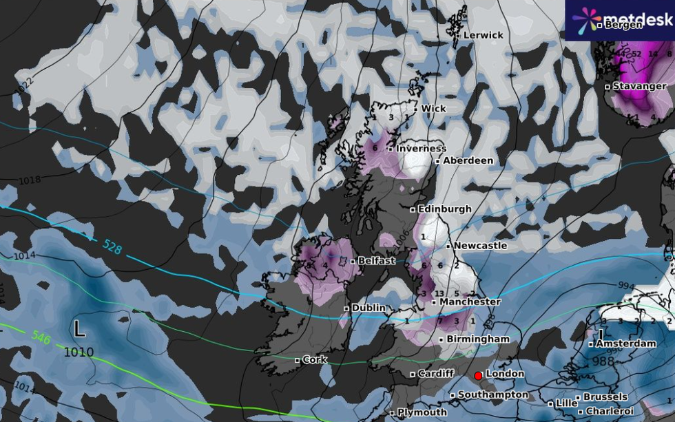
An arctic plume is set to blast Britain in the coming days
WXCharts
Met Office meteorologist Aidan McGivern said: “By Monday, the most likely set up is a cold northerly wind which, passing over relatively warm seas, will pick up moisture and instability and lead to frequent showers which could come as far as the southwest of England and parts of Wales, and they will be a mixture of rain sleet and snow.
“The further north you are and how high up you are the more likely you are to see sleet and snow with any settling snow over the tops of the hills for England and Wales and Scotland and northern Ireland.
“An increasingly cold wind will bring frequent showers to Scotland and northern Ireland, and it will be cold enough for some sleet and snow especially over higher ground.”
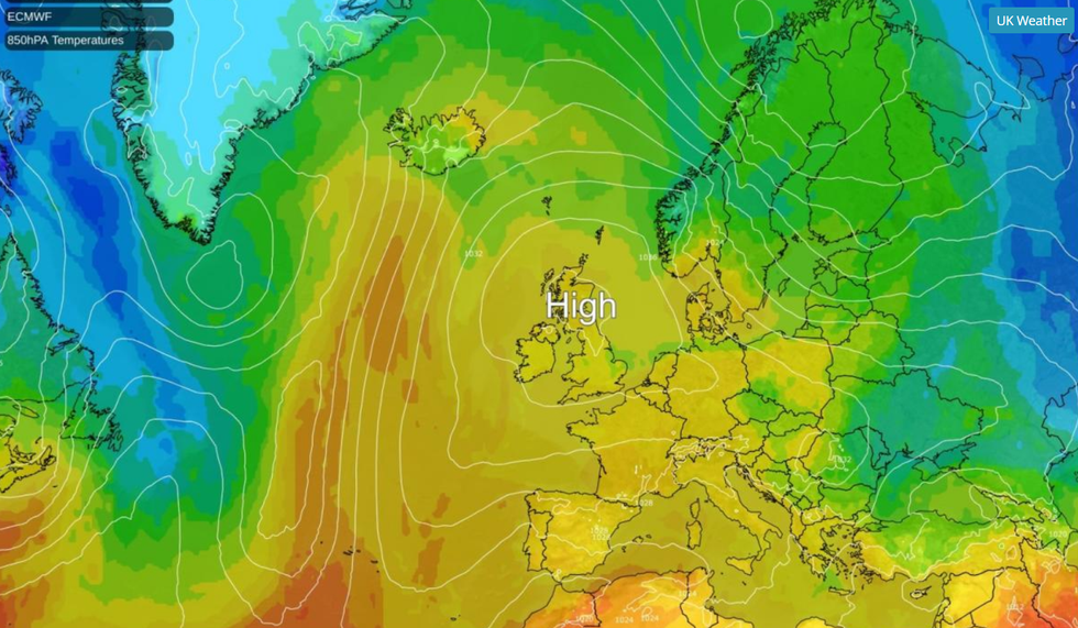
Britain over the past week has been stuck under a high-pressure dome which has driven cloudy skies and milder temperatures.
The ‘anticyclonic gloom’ has finally shifted but will allow a cold front to sweep the nation.
Where cold Arctic air meets milder air across the south, strong winds and heavy downpours could erupt.
WEATHER LATEST:
Heavy rain will persist through the weekend and into the start of next week when the cold will dig in to bring snow.
MgGivern said: “Rain in the far northwest is being caused by a weather front that will sink south during Friday evening.
“It is a narrow but potentially intense feature with heavy rain and gusty winds for a time.
“That front becomes slow moving as it runs into higher pressure and marks the boundary between mild air to the south and colder air to the north and when you get these temperature contrasts you can get areas of low pressure forming, and that looks likely for Sunday.”
While snow is likely at the start of next week, ‘exciting maps’ doing the rounds on social media should be taken with caution, he warned.
He said: “These may show various parts of the UK plastered in snow by the start of next week, but it’s important to remember when looking at those maps that they are just one computer model simulation of the atmosphere, and professional meteorologists run the computer models dozens of times.”
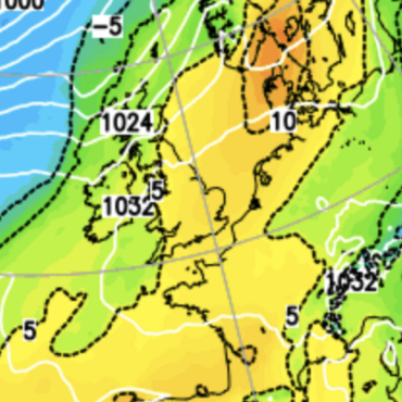
 A high-pressure system over the UK mapped last weekNetweather
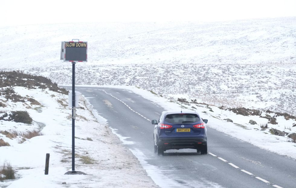
Heavy rain will persist through the weekend and into the start of next week when the cold will dig in to bring snow
PA
Heavier-than-usual snowfall could, though, hit parts of the UK this winter with ocean temperatures higher than average.
As cold air passes over warmth and moisture, water condenses into rain, or when the air is very cold, snow.
Atlantic sea-surface temperatures are still higher than they would usually be at this time of year, bringing a greater risk of heavy downpours.
Jim Dale, meteorologist for British Weather Services and social commentator, said: “There is a risk when a cold snap comes that, much like when cooler air passes over sea waters it sweeps in rain, that it will bring snow.
“Because of the warmth of the sea, and the high humidity, heavier precipitation results, and this winter, this could result in heavier than usual snowfall.
“After mid-month, temperatures are going to fall and we are likely to see wintry showers in parts of the country.”


 A high-pressure system over the UK mapped last weekNetweather



Post comments (0)