Britain’s weather is about to get a jolt from a savage storm hammering the US as the winter chill makes way for spring warmth.
Freezing northerly winds, hail and snow will retreat after the weekend in favour of mild daytime temperatures and balmy nights.
High pressure dragging in the Arctic chill will be shunted offshore by a turbo-charged jet stream hurtling across the Atlantic.
The fired-up jet is being powered by huge temperature contrasts across America, currently battered by raging blizzards, storms and tornadoes.

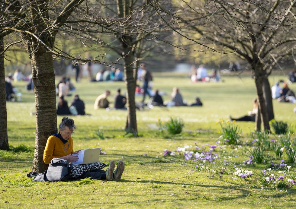
We’ve seen bouts of very cold weather in recent days
PA
Jim Dale, meteorologist for British Weather Services, said: “Severe weather in America, particularly where there is a strong temperature contrast across the country will always strengthen the jet stream and that will have an effect on what we see in the UK.
“We are not looking at anything remarkable in terms of hot weather, but the northerly influence is going to shift to something from the Atlantic and this will bring milder temperatures.
“There is going to be a change after the weekend to something milder, so hopefully we are in winter’s last chance saloon.”
But as temperatures lift to seasonable highs, Britain will fall into the firing line of wind and rain.
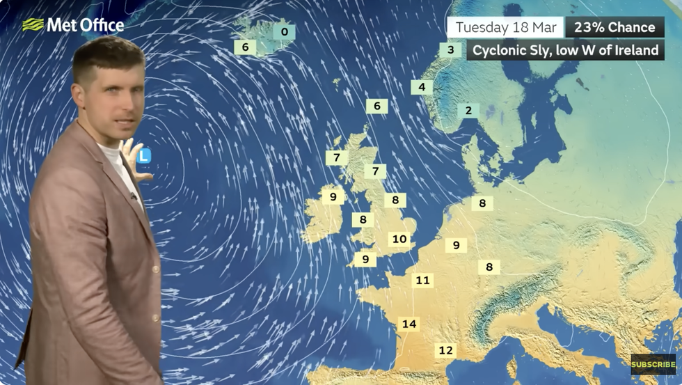
Bouts of cyclonic low pressure steered in by the jet will take aim at western coasts adding an autumnal touch to the U-turn.
Met Office meteorologist Alex Burkill said: “Our weather is going to become more changeable and more mobile, and we are likely to see some wet and windy weather coming through from the west and the southwest, so it is going to become more unsettled.
“We will say goodbye to that northerly that we have at the moment, and instead our wind will most likely be coming from the southeast and we could see our temperatures rising.
LATEST DEVELOPMENTS:

We’re set to see milder weather
PA
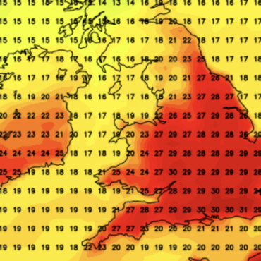
“Another big talking point will be that rise in temperatures, and we are going to see some milder air pushing its way in.
“By night, the milder warmer conditions are going to be a bit more noticeable.”
Cold weather over the past week has been driven by high pressure to the north of the UK pulling Arctic winds over the country.
This region of ‘anticyclone’ will dig its heels in through the weekend triggering more icy nights and frosty mornings.
Burkill said: “The high pressure that was to the northwest of us by Saturday will have pushed a little bit closer, and high pressure settles things down, but with that we still have the chilly air across us, so no drastic rise in the temperatures just yet.
“Across more central and southern parts, it is going perhaps to be a bit colder on Sunday morning than it was on Saturday morning, so there will be a chance of frosts and icy patches.
“As we go into Sunday, there is even colder air just further north, and in between this colder air and the chilly air across the UK there is a slice of something a bit milder and in this zone, there is a bit more cloud and a bit of rain.”

Bouts of cyclonic low pressure steered in by the jet will take aim at western coasts adding an autumnal touch to the U-turn
MET OFFICE
Britain’s weather is frequently influenced by changes in position and strength of the jet stream.
The jet is strengthened by stark temperature changes across the United States where southerly heat is pushing 90F as Arctic storms hit the north.
A particularly severe storm will swipe the US this weekend, raising the alarm for a widespread whiteout and the risk of tornadoes.
While the UK will see nothing on this scale, our weather will turn unsettled through the second half of March.
Dale said: “We are going to get the crumbs of what is happening over in America, but of course, nothing at all on the same scale.
“Something more unsettled, but milder than we have seen over the past week or so.”


Post comments (0)