Britain’s battle-zone winter will keep the Arctic and Atlantic fixed in a brutal deadlock spawning bitter gales, snow and a barrage of vicious storms.
Storm Darragh will deliver the latest blow in a bizarre and unpredictable pattern of freezing northerly plunges followed by wet and windy autumnal assaults.
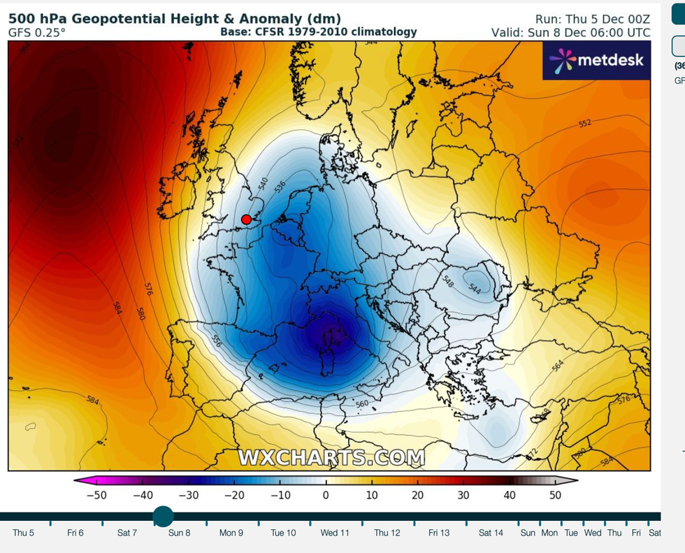
Behind the weirdly erratic weather are powerful regions of high and low pressure wrestling astride an unusually fierce jet stream.
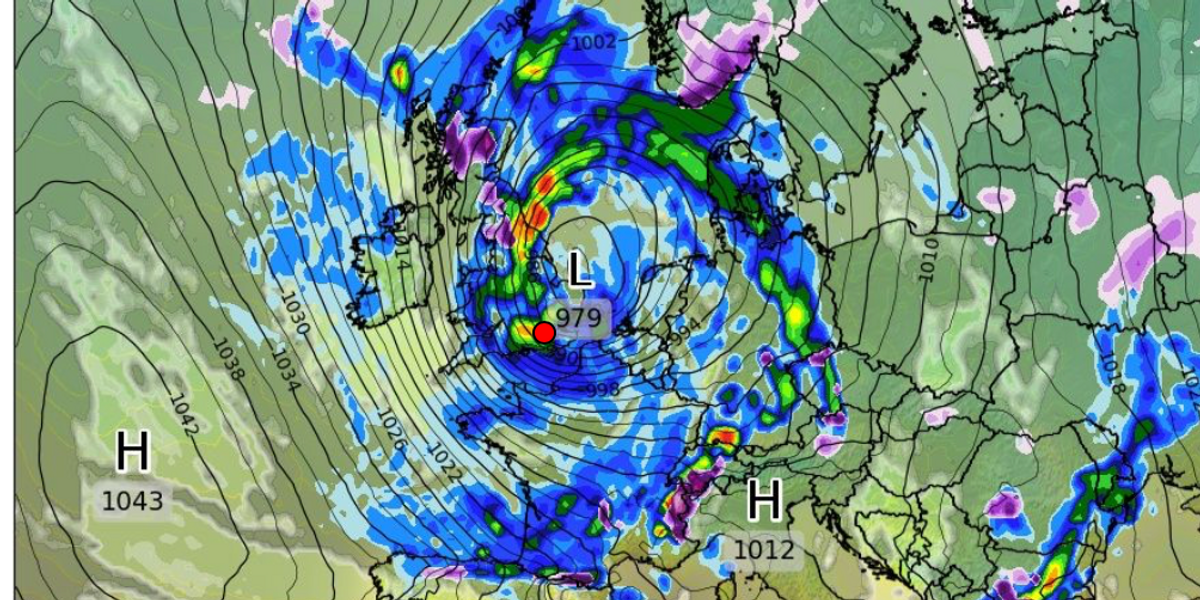
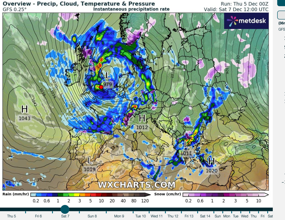
A rapidly strengthening low-pressure cyclone will win the tussle this weekend to unleash the fourth named megastorm of the season – Darragh.

Storm Darragh will deliver the latest blow in a bizarre and unpredictable pattern of freezing northerly plunges followed by wet and windy autumnal assaults
WXCHARTS
Met Office meteorologist Honor Criswick said: “It is all being fuelled by this very strong jet pushing it north-eastwards towards the UK, and it moves its way eastwards as we head into the weekend.
“There has been uncertainty with regards to the exact location of the centre of the low, and now, it looks like it is going to be on the northern flank of the jet, so the colder side of the jet, and this could cause some rapid deepening as it moves towards the UK.
“But some models show it just to the south to the warmer side of the jet and this would skirt this heavy rain and strong winds slightly further south.
“There is plenty of wet and windy weather on the way over the next few days with multiple Met Office warnings in force.”
Stormy conditions will blow in tonight as Darragh assaults much of the country with strong wind and heavy rain.
Depending on the track of the storm, western regions will see the heaviest rain while the east is pounded by strong winds.
Criswick said: “Most areas are going to see some strong winds at times, particularly around coasts.
“This is mainly around the Irish sea, so north-western parts of Wales and western parts of northern England could see some particularly strong winds with gales or perhaps severe gales.
“We could see wind speeds between 60 and 70mph and we may even see a localised 80mph in exposed spots.”
High pressure moving in from the west will bring another chilly snap as temperatures fall and frost settles, she warned.

Stormy conditions will blow in tonight as Darragh assaults much of the country with strong wind and heavy rain
WXCHARTS
She said: “As we head from Monday night into Tuesday it is going to be turning cold and we are likely to see some frost in places and we may even see some fog patches too, and we are coming to the time of year when that fog struggles to dissipate through the morning.
“By Tuesday, the high pressure still dominating so a lot of settled weather and similar on Wednesday.”
The unusually strong jet will steer the storm across the UK before shifting to allow high pressure to build next week.
This will bring clearer skies and a change in wind direction from the north to bring a spell of colder weather.
Jim Dale, meteorologist for British Weather Services and social commentator, said: “Behind this storm there is colder air waiting to come into the UK, and this is going to come down from the north bringing the risk of snow to higher ground, particularly in Scotland over the Grampians.
“In the meantime, we are watching this weekend for a powerful low which will deepen as it approaches the UK.
“This has the potential, once again, to cause disruption through the weekend.”


Post comments (0)