A “anticyclonic gloom” is set to spread over Britain, bringing with it “unusual conditions” for November.
The start of the month will be foggy thanks to a high-pressure system which is typically associated with warmer months, NetWeather has forecast.
Because high pressure supports light winds and clear skies, the fog in this period is stubborn to clear, which leads to daytime mist and grey skies – known as an “anticyclonic gloom”.
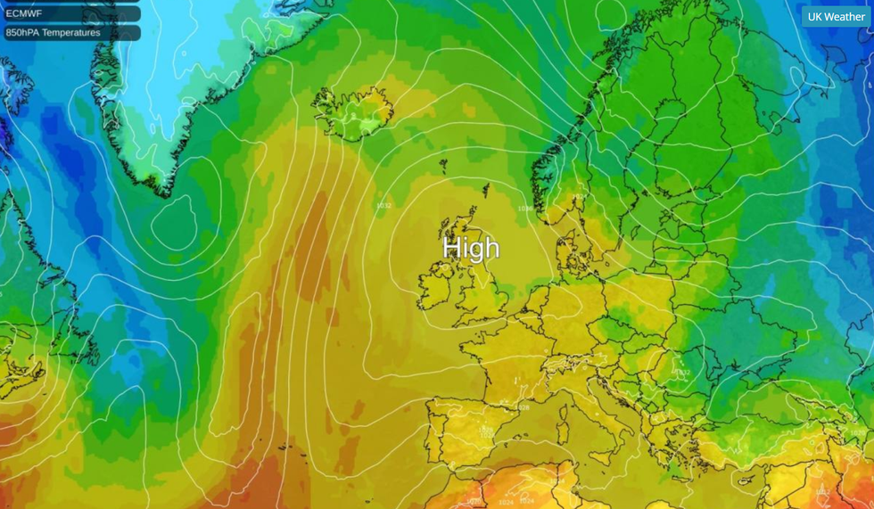
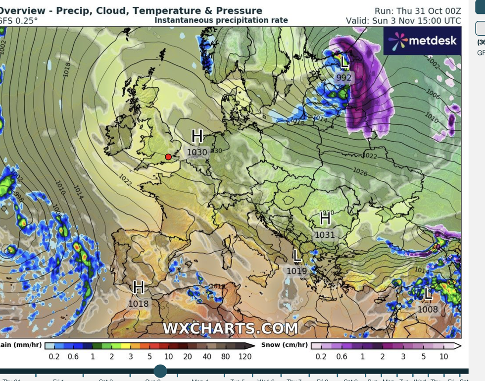
Ian Simpson, forecaster at NetWeather, said: “The high pressure area is forecast to sit mostly over and to the east of Britain – again, a location that is often associated with warm or hot and sunny weather in the summer half-year, but which is likely to produce a lot of cloud during the coming fortnight.”

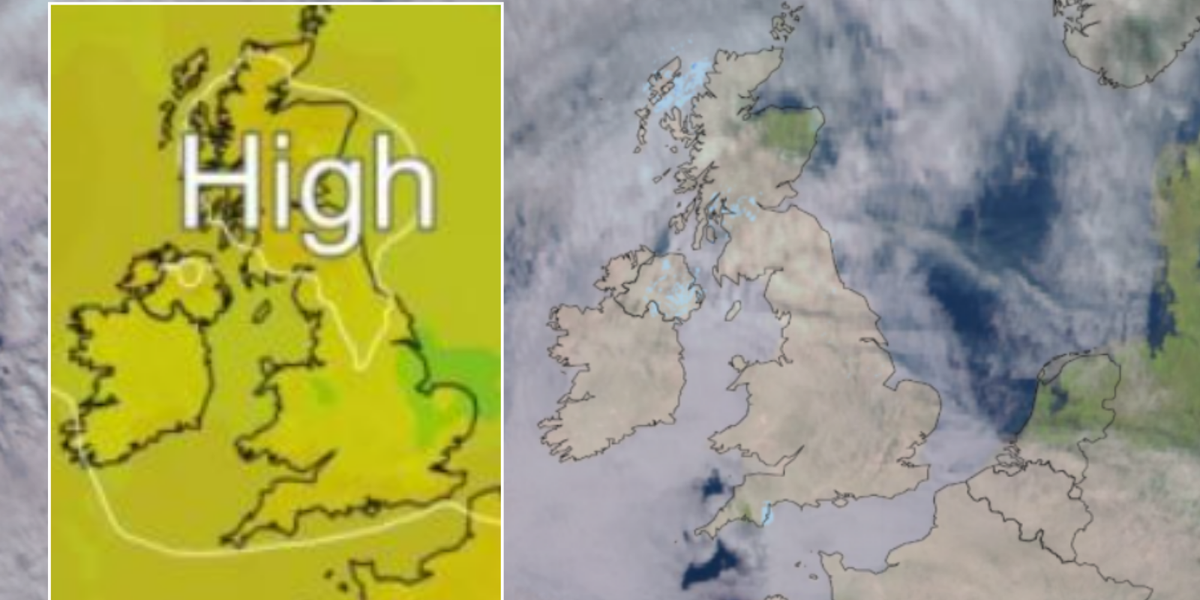
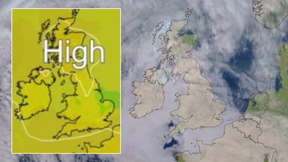
An ‘anticyclonic gloom’, a high-pressure system, will bring ‘unusual’ weather conditions across Britain
Netweather
He said that as the winds will mainly be southerly, Scotland will be one of the sunniest parts of the UK during the next two weeks.
However, Britons can rejoice that whilst stubborn fog is likely to cease, rainfall will be “exceptionally low” due to “unusually dry weather”.
Simpson explained that some parts of eastern England may likely experience no downpours at all for the first half of November.
And the “anticyclonic gloom”, whilst dreary, will not bring it with cool air.
WEATHER LATEST:

A high-pressure system is currently over the UK
Netweather
“High pressure often translates to cold weather and frost and fog at this time of year,” Simpson explained.
“However, this time around, with some warm air masses and southerly winds, it is forecast to be generally warmer than average for the time of year. Generally cloudy weather will also help to prevent the temperatures from dropping substantially overnight.”
The current “anticyclonic gloom” is unusual in the fact that it will stick around for at least two weeks. Typically it moves away after a week.
He said: “There is potential for some areas of the UK to end up with their driest first half of November for many decades.”

High pressure dominates the beginning of the month
WXCharts
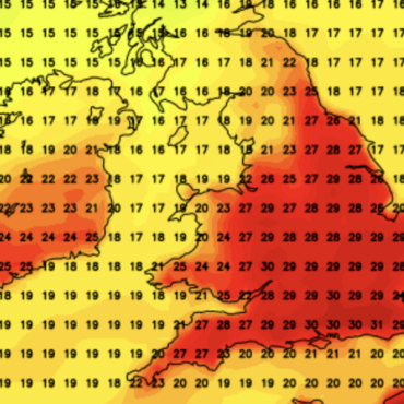
Temperatures at the end of October rose thanks to the high pressure system, bringing with it murky and misty conditions.
Last week, Met Office meteorologist Alex Deakin explained: “High pressure will sit somewhere close to the UK, and that would bring a lot of dry weather, but it will not necessarily be sunny, it is likely to be quite dank and murky at times.”
“There are no strong signals that Halloween will be particularly cold, and for most of next week temperatures will be around average, and it will often be quite cloudy, and there could be stubborn mist and fog.”






Post comments (0)