Britain faces an ‘explosive’ autumn kick-off as September climaxes with yo-yoing temperatures, wind, rain and a potential storm.
Meteorologists are agonising over conflicting forecasts of torrential downpours followed by an Arctic plunge ahead of a brief calm which will be shattered by a ‘cyclonic’ assault.
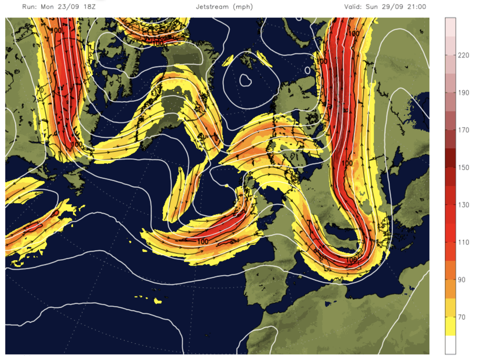
The jet stream, Britain’s weather marshal, will fracture leaving a powerful ‘jet streak’ whipping up trouble to the south.
This could strengthen stormy weather systems in the Atlantic, steering them towards the UK later this weekend.

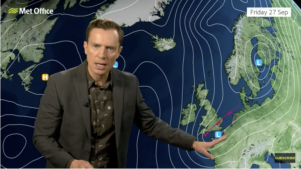
Alex Deakin warns of low pressure stirring up the weather
Met Office
Met Office meteorologist Alex Deakin said: “As we go into next week, we are keeping a close eye on things in the Atlantic.
“The jet stream is dipping to the south and then toppling up to the north, but a little streak is the key player as we head into Sunday night into Monday.
“This little pulse of the jet streak is likely to spin up an area of low pressure somewhere out to the west of the UK, it is a small feature, but it could have a significant impact because it could turn a low into a substantial area of low pressure and bring a spell of wet and windy weather across particularly western parts from Sunday night into Monday.”
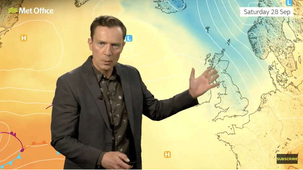
Cold air will spill in from the north ahead of the weekend pushing temperatures, particularly in northern Britain, below average for late September.
A nudge of high pressure will keep a lid on the wind and rain before the next bout of unsettled weather.
However, weather models struggle to agree on a pattern for the next five days, leaving an uncertain picture.
Mr Deakin said: “There is quite a disparity between the two main computer models that we look at.
LATEST DEVELOPMENTS:

Cold air will spill in from the north ahead of the weekend pushing temperatures, particularly in northern Britain, below average for late September
Met Office
“We are fairly confident that a spell of wet and windy weather will hit the UK early next week, but the details remain fairly unsure.
“The most likely pressure set up from Tuesday onwards is with low pressure to the northwest and high pressure trying to build to the south.
“If this high is closer we will have more settled weather, but if that low is closer, we call that more cyclonic, and we are likely to have more showers.”
The chaotic forecasts come as swaths of the UK battle floods after torrential downpours struck at the start of the week.
Parts of the country, including Woburn, in Bedfordshire, were hit with double the usual rainfall for the time of year.
Further rain over the coming week threatens fresh flood woes, as experts warn of no end to the stormy weather.
Jim Dale, meteorologist for British Weather Services and social commentator, said: “It looks like we could be seeing an explosive start to October.

Jet stream cracks over the UK
Netweather
“We are going into an interesting period of weather, with the next two weeks seeing more in the way of stormy conditions with potentially a named storm.”
After northern Britain was hit with the first flurries of snow this week, colder weekend temperatures threaten a more widespread chill.
Met Office deputy chief meteorologist Brent Walker said: “Things will be turning decidedly cooler into the weekend, with frost likely for much of the UK overnight on Friday and a more autumnal feel to daytime temperatures.
“A north-westerly flow of air is developing, bringing cooler Arctic air over the UK and dropping temperatures into the weekend before the next low-pressure system pushes across the country from the North Atlantic.
“This will bring the potential for some very wet and windy weather late on Sunday and into the start of next week, though there is much detail to be determined on the exact conditions so stay up to date with the latest forecast.”
With more rain in the forecast ,bookmaker Ladbrokes has slashed the odds on the wettest October ever.
Spokeswoman Nicola McGeady said: “Things look set to get a whole lot wetter, with the odds suggesting record-breaking October rain could be on the way.”


Post comments (0)