Hot temperatures are set to return across Britain this week as an Iberian heat bomb strikes.
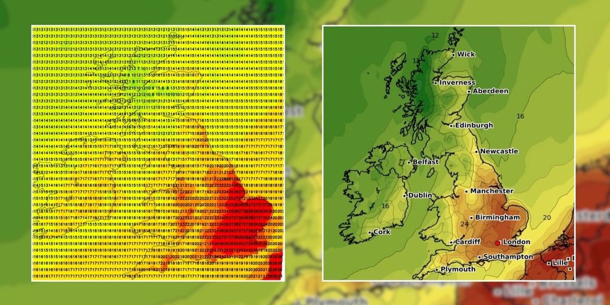
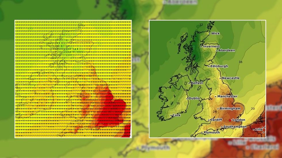
Parts of the UK could see temperatures surge to 29C, according to the latest weather maps.
It follows heavy downpours amid Storm Lilian which caused weather chaos up and down the country.
On Wednesday, London and the surrounding south east could see temperatures jump to 28C.

Hot temperatures are set to return across Britain this week as an Iberian heat bomb strikes
WXCHARTS/ NetWeather
While areas along the south coast, Midlands, North West and the North East, are set to see temperatures ranging from 23C to 25C.
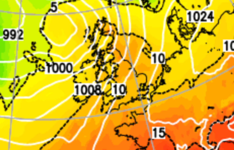
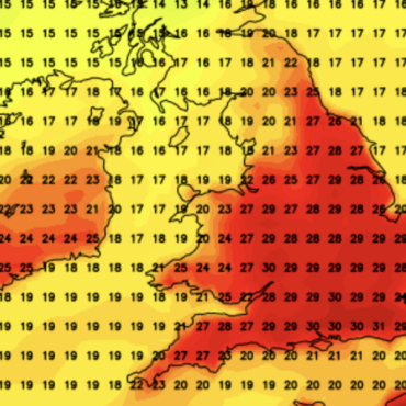
The latest weather map shows intense heat shifting north from southern Europe towards the UK.
Before the sunshine arrives, conditions are expected to be mild with outbreaks of rain.
Netweather Senior Forecaster Nick Finnis said Tuesday’s forecast is cloudy in northern and western areas.
LATEST DEVELOPMENTS:

Parts of the UK could see temperatures surge to 29C, according to the latest weather maps
Net Weather
Drier and warmer temperatures will be seen across the Midlands, southern England, and East Anglia.
Forecasters suggest a cold front will move from northern England and Wales eastwards into central parts of England on Wednesday.
Finnis added: “Ahead of the front, sunny, very warm or hot across eastern England – with temperatures reaching 25-28C.”
Despite the cold start, “temperatures will rise in the south and east”.

The latest weather map shows intense heat shifting north from southern Europe towards the UK
Net Weather
Thursday and Friday will see heavy rain and strong winds moving eastwards.
Looking into next week between August 30 and September 8, the Met Office said: “There may eventually be a trend towards very warm conditions.
“Especially in southern areas, with perhaps an increasing chance of a few showers or thunderstorms as a result.”


Post comments (0)