A ‘life-threatening’ storm surge threatens the US southern coast as the region braces for Hurricane Debby.
Florida and the southeast coast face more than a foot of rain as she spawns a spate of waterspouts and ‘nocturnal tornadoes’.
The third tropical storm of the Atlantic season was last night rapidly strengthening on its path towards the west coast of Florida.
Debby will make landfall early today before after families were last night warned of ‘nocturnal’ tornadoes – deadly twisters obscured by darkness.
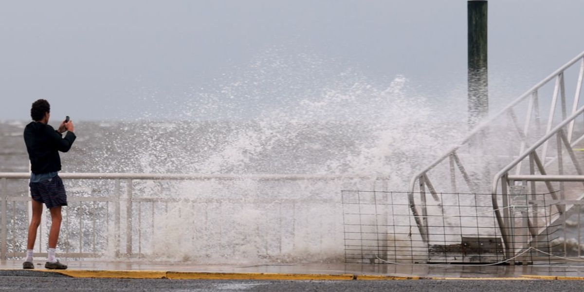
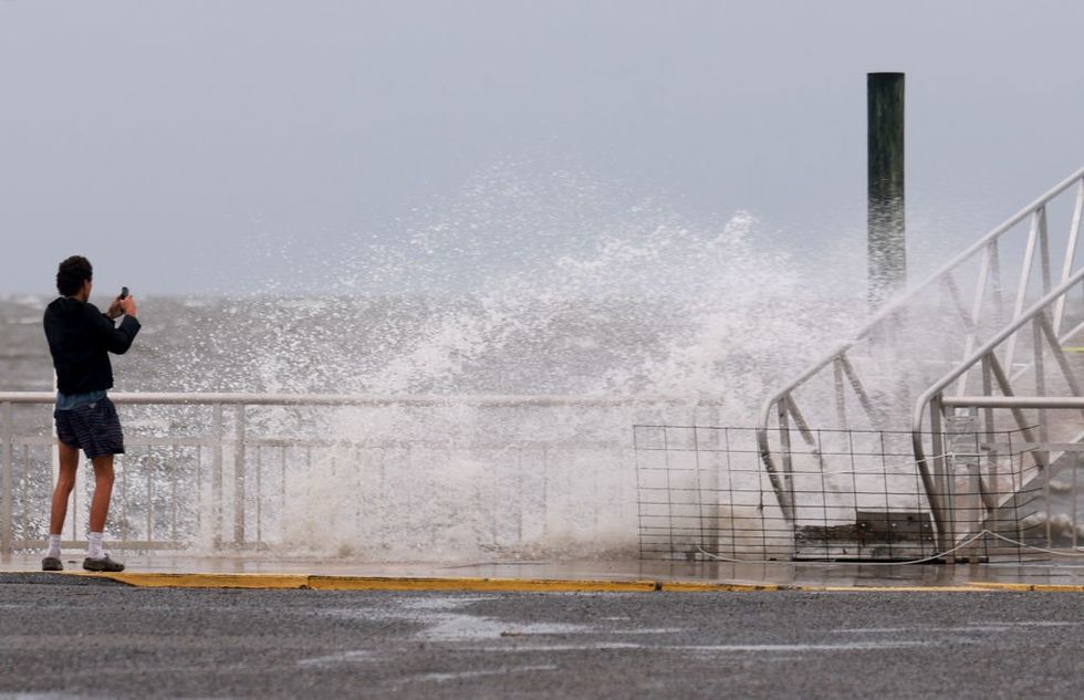
 Hurricane Debby is expected to cause chaos in FloridaGetty
Tornadoes will be a threat through the coming days as the monster storm sweeps the US southeast coast.
AccuWeather Chief Meteorologist Jon Porter said: “Have shelter or safe places ready for tornado warnings.
“You should be in the lowest part of your home, ideally an interior room away from external walls, windows and doors.
“You should be able to move there quickly, especially with an overnight threat because tornadoes that happen at night are two times more likely to be fatal than tornadoes that occur during the day.”
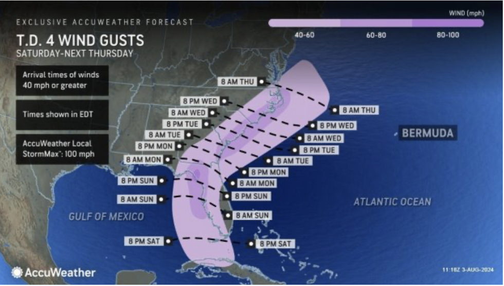
Debby could reach wind speeds of 100mph through the coming hours as she twists through the Big Bend of Florida.
Low pressure at her centre will drag a huge six-foot storm surge, whipping up deadly waves and rip currents.
Southern and south-eastern states have been warned to prepare for ‘relentless’ rainfall as lighter upper-atmosphere winds cause the storm to ‘stall’.
AccuWeather meteorologist Brandon Buckingham said: “After the expected landfall in the Big Bend region of Florida early Monday morning, the storm is expected to track north-eastward, then slow down along the Southeast coast.
LATEST DEVELOPMENTS:

Hurricane Debby is set to make its way southwest
AccuWeather
“Upper-level winds, which typically steer tropical storms and hurricanes, will be very light within this zone and this could cause the storm to stall.
“Depending on the exact location of the storm in proximity to the Southeast coast, a prolonged, potentially multi-day period of heavy rain, strong wind gusts and persistent onshore flow are all possible from coastal Georgia through the coastal Carolinas.”
Warm waters of the Gulf of Mexico could feed the storm, helping it build from a category-1 to category-2 system.
Rainfall could trigger intense flash floods if Debby slows on her path across the US mainland.
Debby is the third tropical storm in what is expected to be an unusually active Atlantic hurricane season.
Higher-than-normal ocean temperatures and a swing from El Nino to La Nina in the Pacific will drive the onslaught.
Jim Dale, US meteorologist for British Weather Services, said: “The season is getting fired up by the massively warmed ocean waters with Debby the next in line to hit Florida through the coming hours.

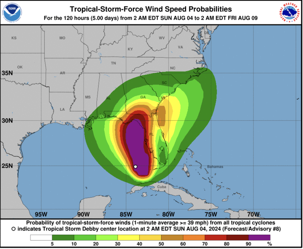
Low pressure at her centre will drag a huge six-foot storm surge, whipping up deadly waves and rip currents
National Oceanic and Atmospheric Administration
“We are going to be on hurricane watch through the next few days as this storm develops and moves across the south-eastern United States.”
The National Weather Service (NOAA) has a hurricane warning in force across Florida and southeast Georgia.
It warns ‘considerable damage’ is likely from winds strong enough to uproot trees and knock out power supplies.
NOAA has warned of a ‘threat to life’ from a possible storm surge and urged people to be on alert for evacuation orders.
A spokesman said: “Leave immediately if evacuation orders are given for your area to avoid being cut off from emergency services or needlessly risk lives.
“Strong winds will likely cause significant damage to unprotected infrastructure along the storm’s path.
“There’s a potential for isolated tornadoes across western and northern portions of the Florida Peninsula through Monday, which is consistent with the Storm Prediction Centre’s convective outlook.”


 Hurricane Debby is expected to cause chaos in FloridaGetty




Post comments (0)