A blink-and-you’ll miss it ‘heatwave’ will gently warm the UK for about 24 hours before summer is once again blown away by the killjoy jet stream.
Beleaguered Britons desperate for hot weather are on notice to be on standby in the south and east between Friday morning and Saturday night.
Then, in keeping with the theme of 2024, the sun will retreat into hiding for the return of wind, rain and chilly grey skies.
Met Office meteorologist Annie Shuttleworth said: “The heat is building across southern areas to end the week, but it is unlikely to last any more than three days as we then return to the cooler more unsettled set up we have been in so far this July.
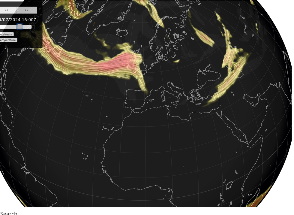
“The reason for that set up is that we have been on the northern side of the jet stream sweeping across the Atlantic, and over the next few days its position will change.
“It will dive down well south of the UK taking low pressure systems up to the north and the west of the UK, but as we head to the weekend, Sunday most likely, the return of a stronger jet core to affect the UK and it will turn a bit more unsettled by Sunday and certainly cooler.”

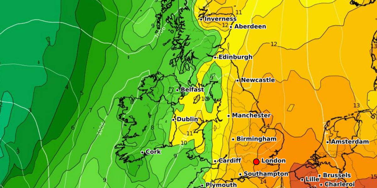
Temperatures in London and the southeast could hit 30C or 31C
WX CHARTS
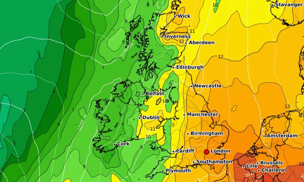
The jet stream will nose southwards over the next day allowing Continental air to flood into Britain.
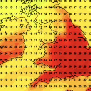
Temperatures in London and the southeast could hit 30C or 31C with highs in the mid- to high-20Cs elsewhere.
However, a lid will fall on the rising temperatures later this weekend as a weather front barges in from the Atlantic.
Northern and western areas will be the first to return to the grim weather, with the south hanging on marginally longer.
Shuttleworth said: “On Friday, strong sunshine is expected quite widely across England and Wales.
“The rain will be potentially restricted to the north and the west, and potentially a little bit warmer extending across northern areas, but it will be breezier further north and west.

The jet stream will nose southwards over the next day allowing Continental air to flood into Britain
NETWEATHER
“Then we are into a transition period Friday into Saturday, and the further west you are the more likely you are to see that breakdown to the cooler weather earlier in the day.”
To be defined as a ‘heatwave’ temperatures in the south must stay above 28C for three days.
Only London and Greater London is likely to hit the criteria with very little chance across the rest of the country, according to the Met Office.
“A few locations across the south and the east could technically see a heatwave,” Shuttleworth said.
A spokesman for Netweather added: “Blink and you may miss it, plus you will need to be further south and east, but we have a brief burst of heat on the way to end the week this week, with 30C on the cards for Friday and Saturday.”
Next week paints a similar picture to that of July so far as forecasters warn of ever-vanishing hopes of a decent summer.
Northern regions stand to fare worse although much of the country will sink back into the gloom during the approach to August.
Jim Dale, meteorologist for British Weather Services and social commentator, said: “The further north you are the more chance you will have of cooler, wetter conditions after the warm spell.
“There does not look like any major change to this pattern of weather for the next week or so.”


Post comments (0)