Tropical Storm Alberto will be steered towards America by a record-breaking heat dome as the nation braces for a tropical deluge.
The force of the system, which in the last 12 hours has burgeoned into a mature tropical storm, will hit a 1,000-plus mile length of the southern coast.
A raft of warnings are issued across the region for flooding, powerful winds and tornadoes, with coasts facing a monster ‘storm surge’.
Alberto, which emerged this week as a tropical disturbance near Mexico, will follow the path of the ‘Bermuda High’.
This huge region of high pressure stretching from the tropical Atlantic is also driving a searing heatwave forecast to sweep the country.
A spokesman for the National Weather Service (NOAA) said: “The strong Bermuda High that will help sustain the heat wave across the Ohio Valley to the Northeast will also help steer [Tropical Storm Alberto] westward toward northern Mexico.

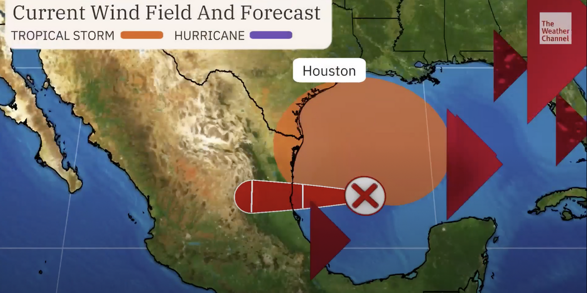
Cone of the storm
THE WEATHER CHANNEL
“Some of the tropical moisture from the storm is forecast to stream north and trigger showers and thunderstorms across the Four Corners region by Thursday and into Friday.
“Over the western Atlantic, moisture associated with a tropical wave could reach north-eastern Florida and coastal Georgia Thursday night to Friday morning.”
The NOAA has a ‘tropical storm’ warning in force along the Texas and Louisiana coasts with a separate wind advisory stretching more than 1,000 miles from Texas to Carolina.
Separate flash flood watch alerts are in force in Texas, New Mexico and Kansas, ahead of Alberto’s arrival.
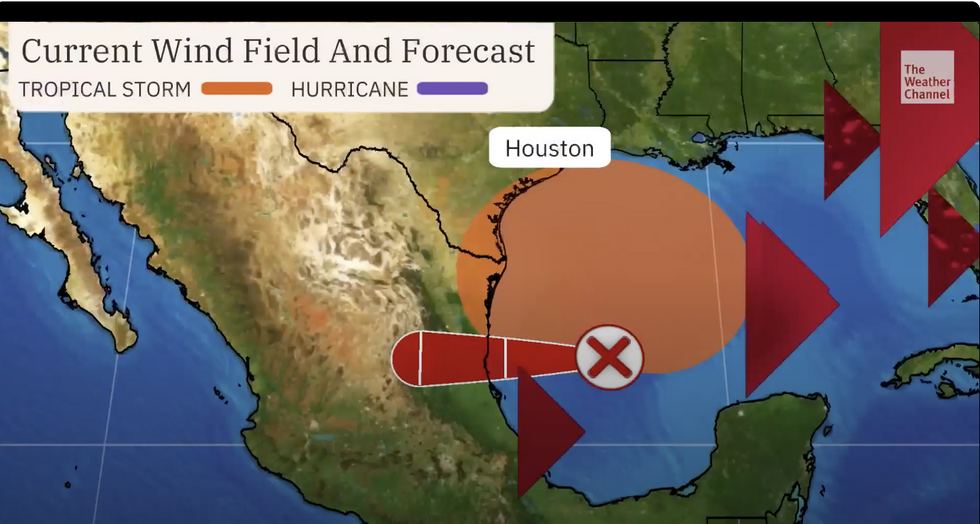
The ‘cone’ of the storm, which predicts where the strongest winds will hit, will not reach the US, but a ripple effect will bring weather dangers across the south coast.
Weather Channel meteorologist Briana Waxman said: “Although the cone of the storm does not include the US, the Gulf Coast will feel the effects of this system.

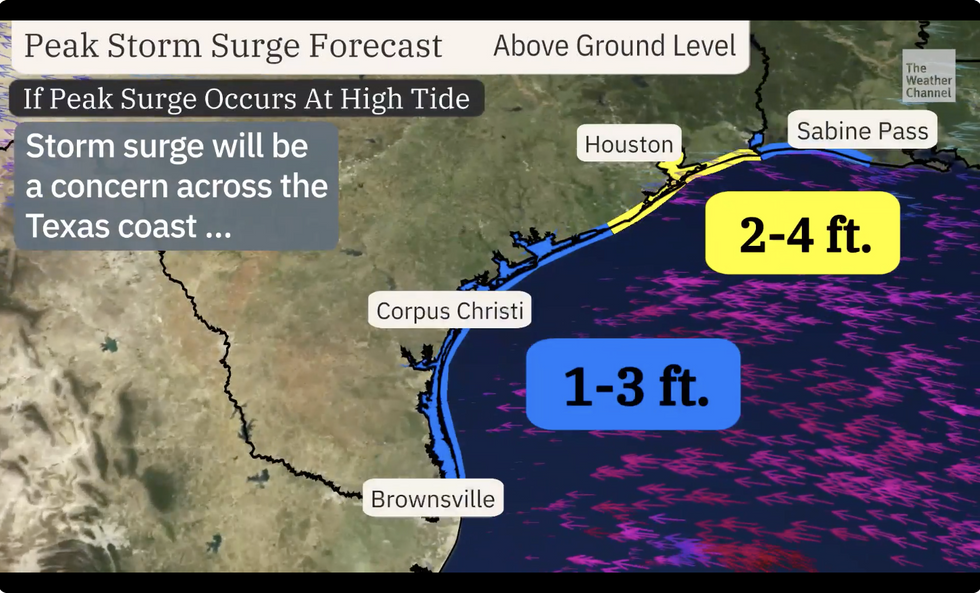
Storm surge warning along the Texas coast
THE WEATHER CHANNEL
“A storm surge of up to four feet is possible for parts of the Texas coast, including the Houston area.
“Flooding is likely for much of southern Texas as rain continues to hammer the state.”
As southern states brace for the storm, New England and the northeast is on alert for blistering heat.
A searing plume pushing temperatures into the low-100Fs will push northwards pushing the mercury through the roof.
Jim Dale, US weather correspondent for British Weather Services, said: “The heat is going to move into the northeast where, even here, we could see temperatures nudging towards 110F.
“We are ow starting to get into the realm of serious and dangerous temperatures, and people may find it difficult to go out.
“By the end of the week, much of the US will be in the heat.”
In a bizarre twist, a freak Arctic dive at the start of the week brought inches of snow to the northwest.
Temperatures contrasts between cold and hot air have fired up the jet stream which will help drive storm activity.


Post comments (0)