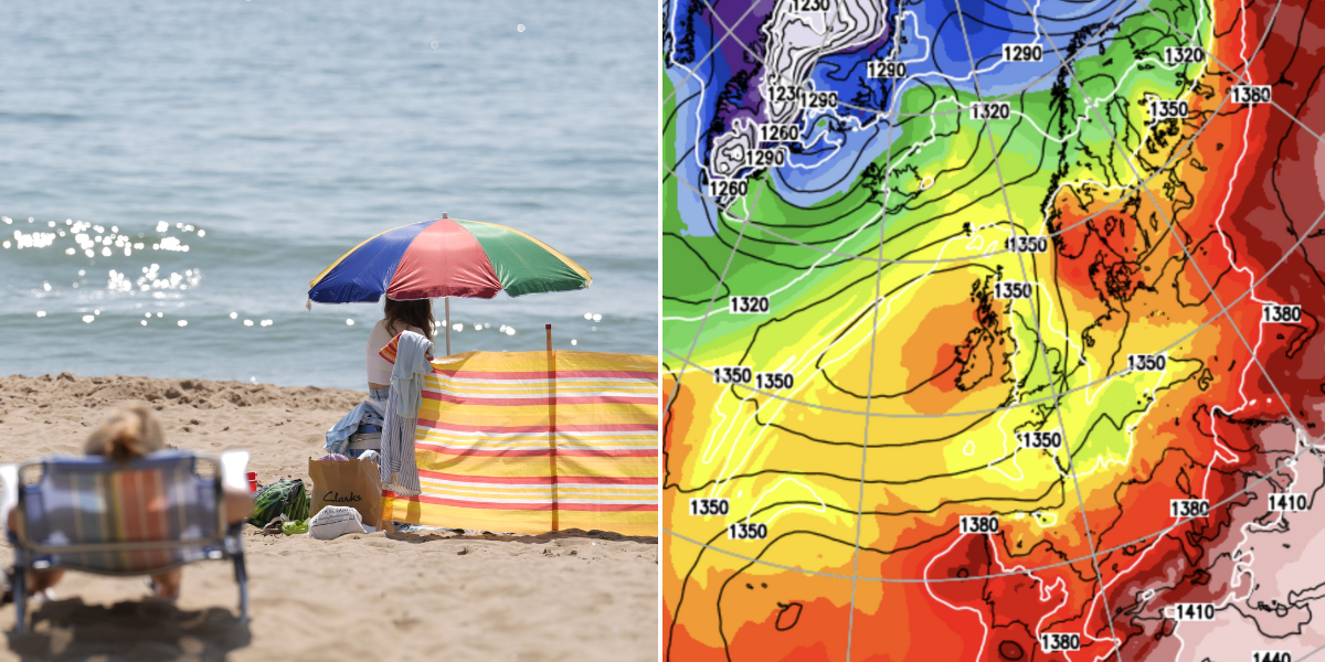
A duo of pressure systems are poised to lock horns later this week unlocking the sunshine and ushering a ‘proper start to summer’.
Two atmospheric ‘anticyclones’ astride Britain will join forces at the start of June to call time on a week of thundery downpours.
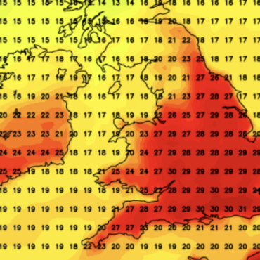
Temperatures are then expected to take an upward path hitting the mid- to high-20Cs or even nudging 30C.
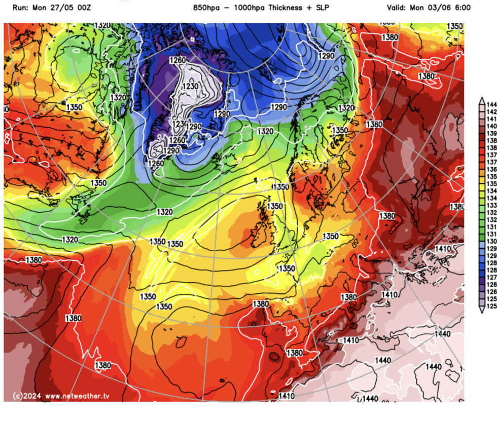
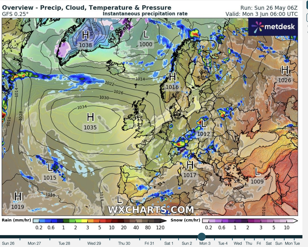
Jim Dale, meteorologist for British Weather Services and social commentator, said: “There will be a push from the south and a push from the north as two high-pressure systems move towards Britain before meeting in the middle.

Temperatures are expected to take an upward path hitting the mid- to high-20Cs or even nudging 30C
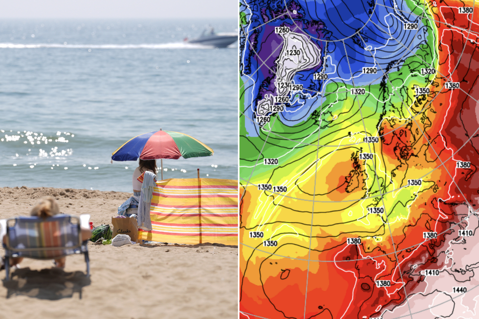
PA/Netweather
“One is from the south, just west of Ireland, and the other is to the north over Scandinavia.
“This will lead to progressively warmer temperatures through the start of June, which means that just a couple of days into summer, we will start to see some proper summer weather.”
This week marks the end of spring with Saturday marking the start of the meteorological summer.
Despite weeks of rain and grey skies, higher-than-average temperatures overall could mark one of the warmest springs on record.
Mean central England temperatures for May could come in at around 14C, putting the season in league with the two current leaders–2011 and 2017.
However, Britons will have to brave further rain, wind and thunder through the rest of the week.
LATEST DEVELOPMENTS:

Warmth arrives for the start of summer
Netweather
Mr Dale said: “We are going to be watching our backs through the rest of the week and the end of spring.
“In parts of the country where there is heavy rain, there will be a risk of localised flooding.
“So, it is a case of holding on until the end of the week when a shift in patterns will bring higher temperatures and the start of t-shirt weather.”
Long-range forecasters agree on a weather U-turn at the end of and unsettled and gloomy rest of the week.
James Madden, forecaster for Exacta Weather, said: “The models are struggling a bit with the exact forecast for the start of the week, with the outlook on temperatures and conditions changing every several hours.

Two highs straddle the UK to let in the sunshine
WXCharts
“But we are more likely to see warm weather arriving towards the end of the week, and this could set the scene for further warm weather around mid- to late-month.”
Promising forecasts have prompted bookies to slash the odds on summer sunshine with Ladbrokes now 2-1 for the hottest on record.
Spokeswoman Nicola McGeady said: “The June forecast looks very promising for sun worshippers and we’re strapping in for record-breaking temperatures over the next month.”
A spokesman for the Met Office said: “The outlook into the week continues to look changeable, with showers and more persistent rain likely , particularly in the west and northwest.
“The east and southeast are more likely to see drier weather and temperatures are likely to be slightly above average for many, especially so in the southeast.”






Post comments (0)