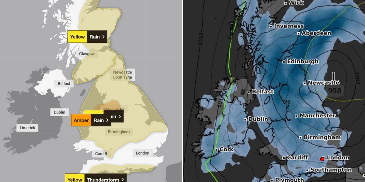
The Met Office has issued an amber weather warning as Britons brace for flooding and thunderstorms – sparking chaos for 24 hours.
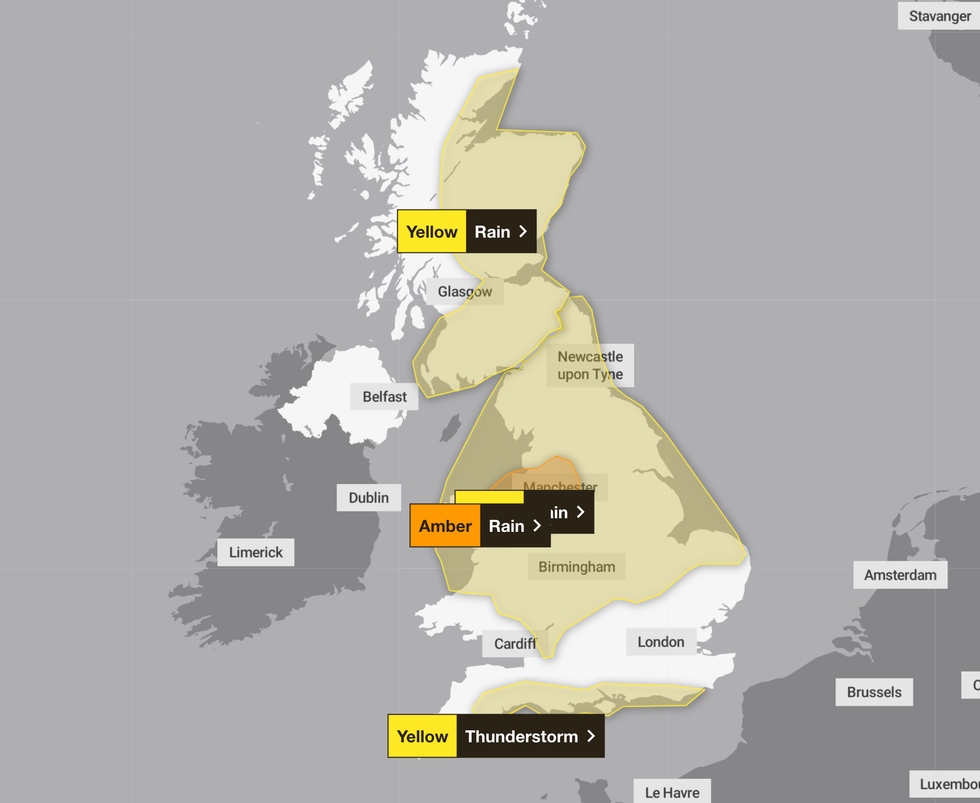
A yellow weather warning for rain applies to a huge swathe of the UK, with the alert stretching from northern Scotland to the Midlands until 6am tomorrow.
A thunderstorms alert has been issued for the south coast with sudden flooding expected until 7pm this evening.
The amber warning for northern Wales and north west England remains in place until 12pm tomorrow.
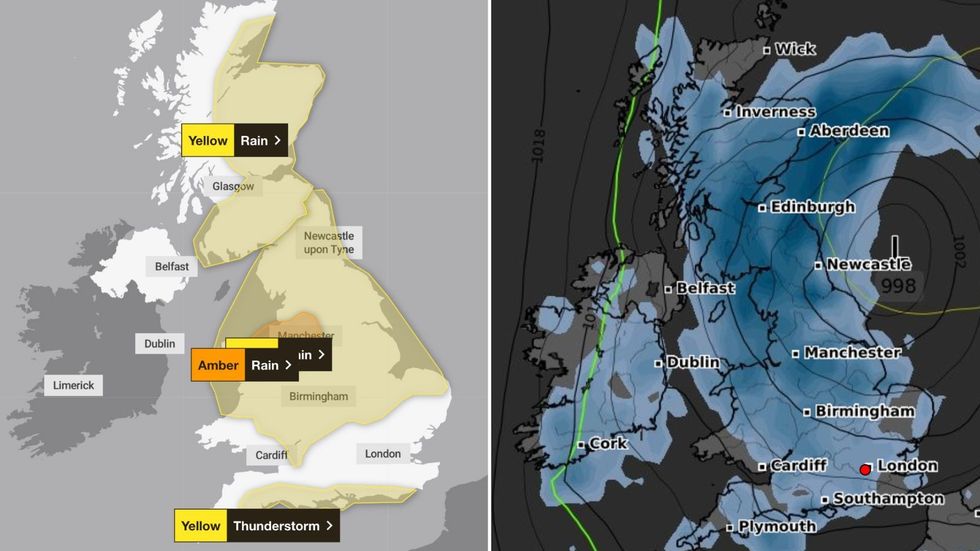
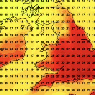
 The Met Office has issued an amber weather warning as Britons brace for flooding and thunderstorms – sparking chaos for 24 hoursMet Office/ WXCHARTS
Met Office forecasters warn that there could be sudden downpours – causing difficult driving conditions, disruption to trains and buses as well as the chance of flooding and power cuts.
The weather agency said: “Rain becoming heavy and persistent during Wednesday afternoon before easing during Thursday morning.
“The heaviest rain is expected over north facing hills and where strong winds will enhance rainfall accumulations.”
Another yellow weather warning for Scotland – covering the south and east of the country – remains in place until 6pm tomorrow.
LATEST DEVELOPMENTS:

A yellow weather warning for rain applies to a huge swathe of the UK, with the alert stretching from northern Scotland to the Midlands
Met Office
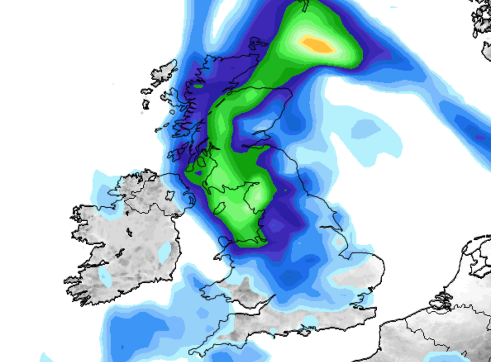
Many places could see 30-40mm of rain while others may receive 60-80mm as heavy rain becomes more persistent this afternoon.
Chief meteorologist Andy Page said a band of heavy rain has moved into the north of the UK due to low pressure in the southern North Sea.
He added that areas exposed to the strengthening northerly winds are most likely to see the highest rainfall.
Met Office meteorologist Alex Burkill: “Some areas are really going to see a lot of heavy, persistent rain through a big chunk of Wednesday.

Met Office forecasters warn that there could be sudden downpours – causing difficult driving conditions, disruption to trains and buses as well as the chance of flooding and power cuts
NetWeather
“It is going to be a pretty wet picture as we go through the rest of the week for many places.
“There is some uncertainty as to exactly where we are going to see the heaviest rain and where is most likely to be impacted.”
Showers are set to continue on Friday – with the north expected to see heavy rain.


 The Met Office has issued an amber weather warning as Britons brace for flooding and thunderstorms – sparking chaos for 24 hoursMet Office/ WXCHARTS




Post comments (0)