Britain could be hit with thunderstorms today – sparking hail and gusty winds as scattered showers move in across the weekend.
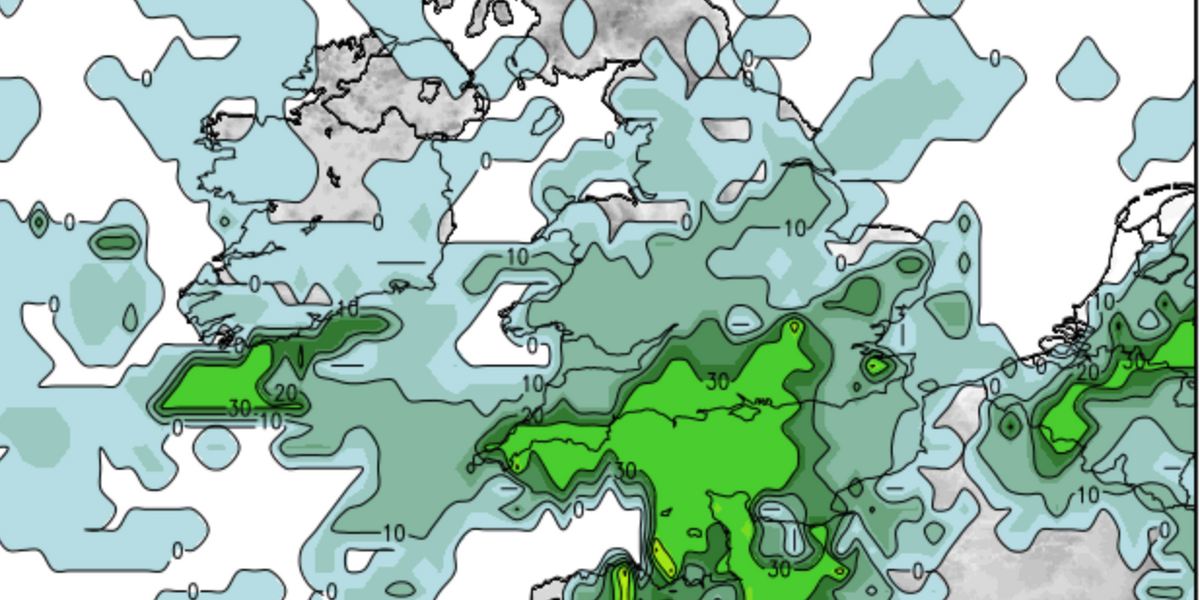
Weather maps suggest an “unstable large-scale” airmass will move east across the British Isles – covering southern Britain.
Heavy showers and thunderstorms could batter the south of England generating lightning strikes and brief intense rainfall leading to localised flooding.
Net Weather expects any storms to clear east during the early evening.

Heavy showers and thunderstorms could batter the south of England generating lightning strikes and brief intense rainfall
Net Weather
Conditions this afternoon are predicted to become wet with showers becoming more widespread and heavier across the south.
However, there could be some sunny spells between showers and hail with the odd rumble of thunder possible.
Meteorologist Nick Finnis said: “Rain across Scotland pushing south across northeast England, followed by showers across the eastern half of Scotland, wintry over high ground.
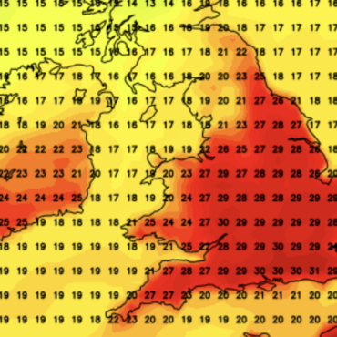
“Best chance of staying dry and sunny across the far west. Temperatures reaching 13-15C across southern, central and eastern areas, 11-13C for Northern Ireland and northern England, 7-10C across Scotland.”
WEATHER WARNINGS:
Saturday morning is set to be cold but sunny with a risk of icy patches on wet surfaces in the north.
Later into the afternoon, conditions will become cloudy with outbreaks of rain.
Forecasters suggest rain will reach eastern areas through the evening.
Weather experts say Sunday will see scattered showers which should clear into the afternoon.
Finnis added: “Sunny spells and scattered showers following across most areas. Very mild everywhere, temperatures reaching 13-16C.
“Next week isn’t looking as wet on the models as it was yesterday morning, with southern, central and eastern areas looking drier now next week.
“Monday is looking mostly dry and bright or sunny towards the east, showers to start in the west but these easing to a drier and sunnier afternoon.”


Post comments (0)