A storm sweeping past Iceland will clip the tip of Britain bringing further rain and the risk of snow to parts of the country.
Temperatures are forecast to drop ahead of the weekend, sparking warnings to wrap up for a late cold snap.
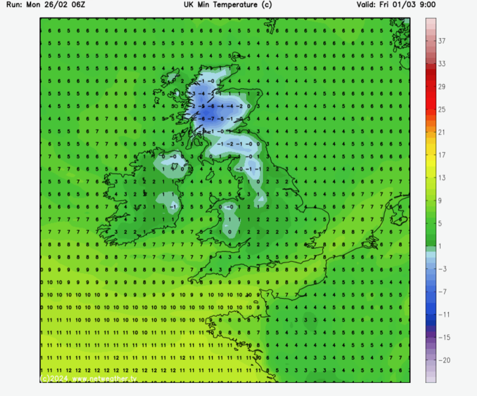
Northerly winds will push the mercury to -7C in Scotland while southern Britain hovers in low single figures.
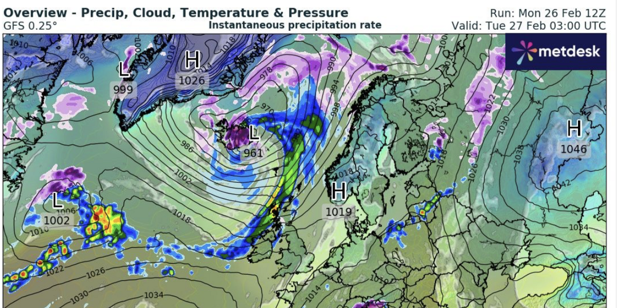
A low-pressure system crossing the North Atlantic at the end of the week will pull Arctic air across the UK, bringing snow across Scotland.

The deep low-pressure system will also bring heavy rain and strong winds to parts of the country
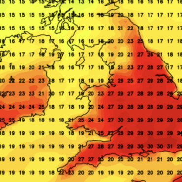
WXCharts
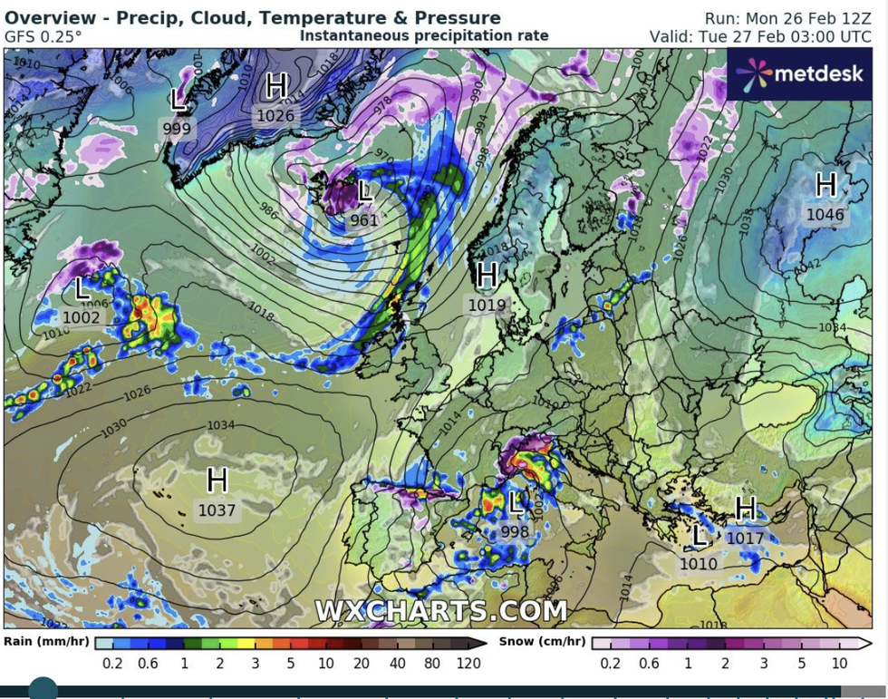
Jim Dale, senior meteorologist for British Weather Services and social commentator, said: “There is a system passing between Iceland and Britain that will bring a flow down from the north, so we are looking at a brief cold snap to end the month.
“This will bring snow to Scotland, and it could be heavy in parts, but it will largely be confined to the north of Britain.
“There will also be a risk of ice and frost, as this airflow will be Arctic in origin.”
The deep low-pressure system will also bring heavy rain and strong winds to parts of the country, he warned.
Gales will pick up on Wednesday night with further downpours into the weekend threatening a risk of flooding and disruption.
It follows weeks of heavy rain which could lead this month to be the wettest on record in parts of the UK.
The wet weather has been driven in part by warm ocean temperatures ploughing energy and moisture into the atmosphere.
LATEST DEVELOPMENTS:

A low-pressure system crossing the North Atlantic at the end of the week will pull Arctic air across the UK
WXCharts
Mr Dale said: “The persistent rain this month is partly the result of ocean temperatures which have been above average, and this has led to evaporation and energy in the atmosphere.
“There is further rain on the way, and although it is looking wet everywhere through the end of the week, the heaviest downpours will be in central and southern England.
“Some places could be at record level, and this is going to be a problem for some in terms of flooding.”
Overall, the UK is unlikely to beat the nationwide record set in 2020, but central and southern regions could come close, according to the Met Office.
Spokesman Grahame Madge said: “Depending on where you live, February 2024 has been a wet month.
“During the month the heaviest rainfall has been seen across a swathe of central and southern Britain.
“It is likely that some regions, counties and weather stations will break records when the full figures are released on Friday.”

Northerly winds will push the mercury to -7C in Scotland while southern Britain hovers in low single figures
Netweather
So far this month, more than 120mm has fallen across the country, around 130 per cent of the monthly average.
Southern Britain was particularly badly hit this weekend, with up to an inch and a half forecast to hit the West Country on Sunday.
Further heavy rain is forecast towards the end of the week when falling temperatures will bring the added risk of snow.
James Madden, forecaster for Exacta Weather, said: “Low pressure will stay in charge heading to the weekend and early next week, and this will mix with some expected cooler conditions.
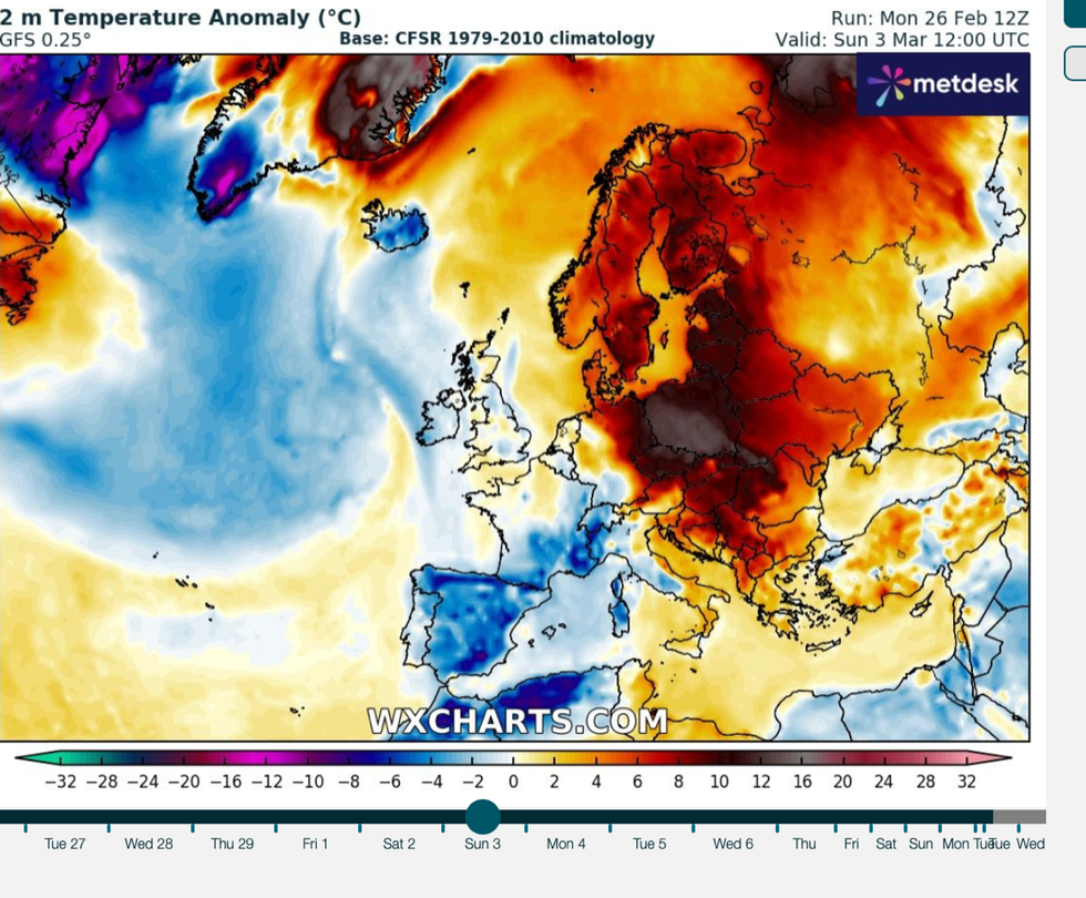
“This will bring the risk of snow through early March, which could be widespread across parts of the country.”
Forecasts for further rain have prompted bookies to slash the odds on the wettest February on record.
Coral spokesman John Hill said: “It looks set to be a wet end to the month, and with heavy rain forecast for the next few days, we have slashed the odds on this ending as a record-wet February.”






Post comments (0)