Britons are being warned to brace for widespread snow and a dramatic dip in temperatures as a deep freeze swaps the nation.
The latest weather maps suggest “increasingly cold” conditions could cause the onset of snow for areas.
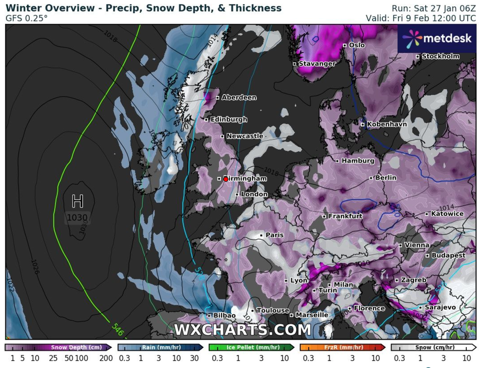
Forecasters predict snow could strike from February 6 with flurries appearing to hit Scotland and large swathes of northern England.
Maps show conditions becoming more widespread by 6am on February 8 as nearly the whole of the UK is blanketed in snow.

Britons are being warned to brace for widespread snow and a dramatic dip in temperatures as a deep freeze swaps the nation
WXCHARTS
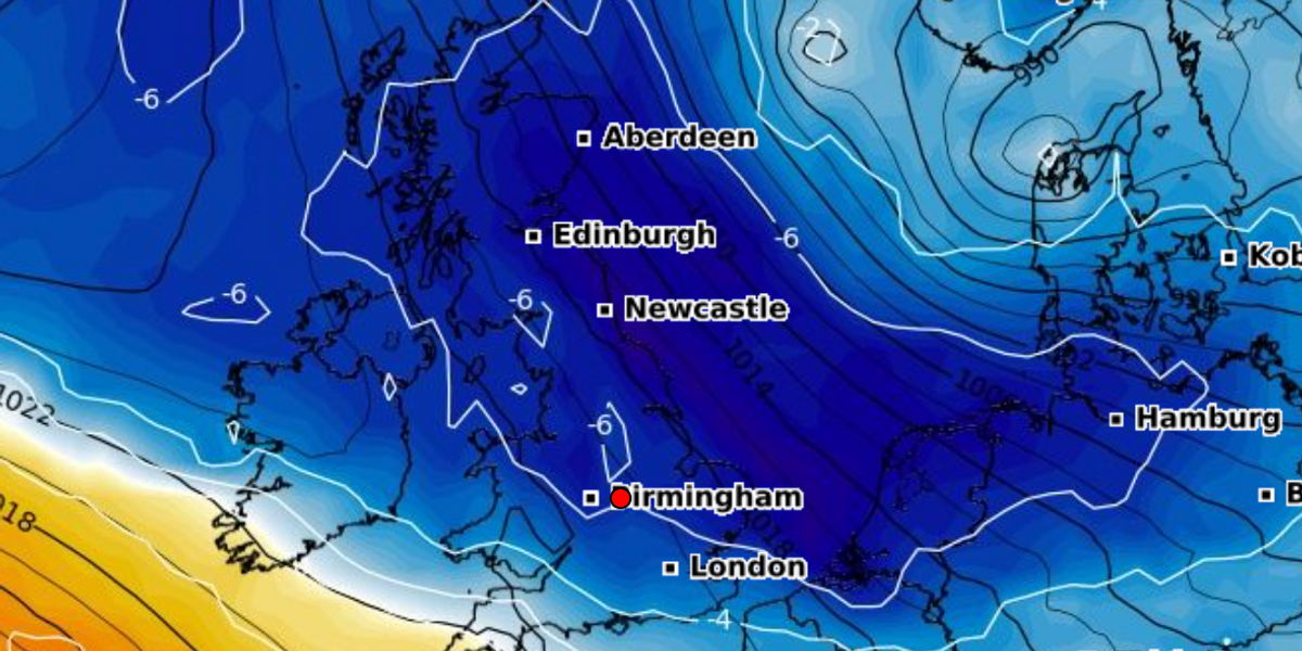
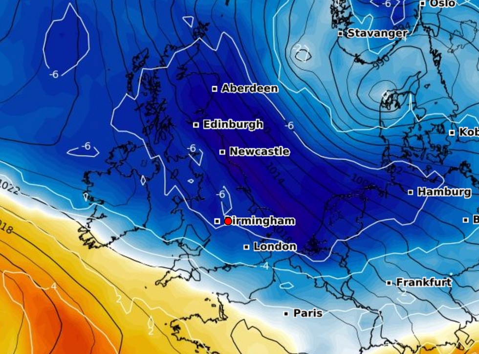
Temperatures also look set to plummet with lows of -3C in areas such as Yorkshire and Manchester.
Forecasters at Netweather suggest a low pressure system may centre on the British Isles, before shifting to Scandinavia.
Its long-range outlook for February states: “It will increasingly turn cold and sunny with northerly winds and potential for some snow, particularly in northern Scotland, and widespread overnight frosts.”
Conditions could get even colder by February 10 with weather experts saying overnight temperatures may drop to around -7C.
Ian Simpson, a forecaster at Net Weather said: “For the longer term, we are watching for the potential for a marked pattern shift around 5-10 February.
“When there is strong support from long-range forecast models for the high pressure to the south weakening and high pressure developing to the northwest of Britain, which would result in winds becoming predominantly northerly, resulting in much colder weather with potential for snow in some areas.
“The forecast models often struggle with blocking highs around Greenland and Iceland.
“So this is not a certainty at this range, but the medium-range models, such as the ECMWF and GFS, are increasingly tending to show potential for northerly winds to set in after around 5 February.”

Forecasters predict snow could strike from February 6 with flurries appearing to hit Scotland and large swathes of northern England
WXCHARTS
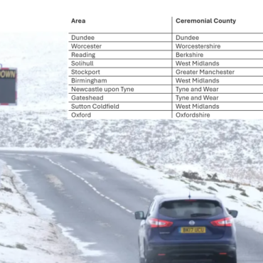
Current weather maps show 2cm of snow falling in Scarborough and huge snow coverings in Aberdeen, with up to 4cm coating Dundee from February 10.
The Met Office say there is an “increased chance of colder than average conditions”.
In its weather blog, the agency wrote: “Our long-range forecast systems suggest that there is an increased chance of colder than average conditions compared to normal as we head through the rest of this winter, with an increasing risk of cold weather impacts such as snow and ice.”





Post comments (0)